

If you're ready for some relief from the heat, you're in luck!
A dry cold front will stall across Central Utah today. It's going to be a lot cooler north of the front. In fact, temps will drop about 10 degrees below average. With highs hovering in the low to mid 80s in the northern valleys, it's going to feel more like September than early August!
In the south and east, it's still going to be hot, dry, & windy again with high fire danger. The front will fall apart as it drifts across the south tomorrow with very little impact on temperatures.
The break won't last long. It's going to warm up again by early next week.
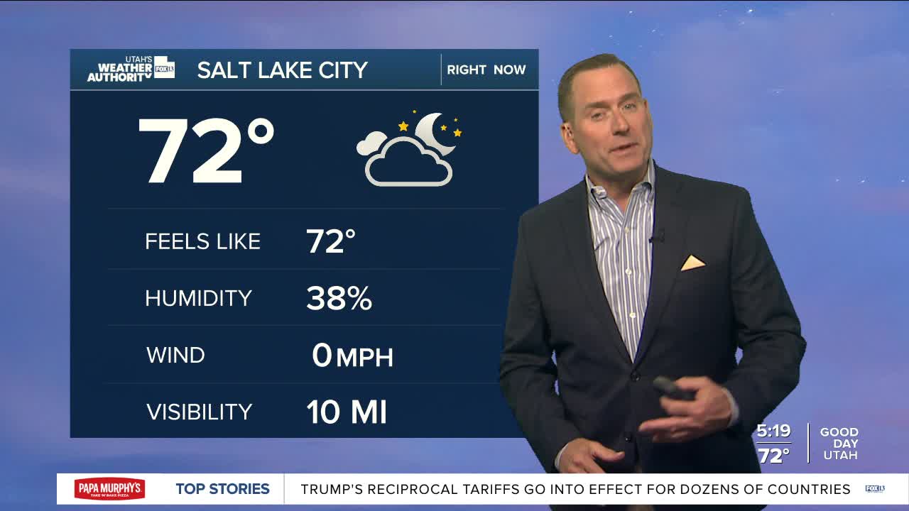
SALT LAKE CITY
Friday: Becoming sunny & getting much cooler! NW winds 5-10 mph. Highs: Mid 80s.
Friday Night: Clear & cool. Lows: Near 60.
Saturday: Mostly sunny. Highs: Mid 80s.
Sunday: Sunny & warmer. Highs: Near 90.
ST. GEORGE
Friday: Sunny, hot & breezy. Winds becoming west at 15 to 25 mph. Highs: Near 106.
Friday Night: Clear. Lows: Mid 70s.
Saturday: Sunny & hot with patchy smoke in the afternoon. Highs: Near 105.
Sunday: Sunny & hot. Highs: Near 106.
