

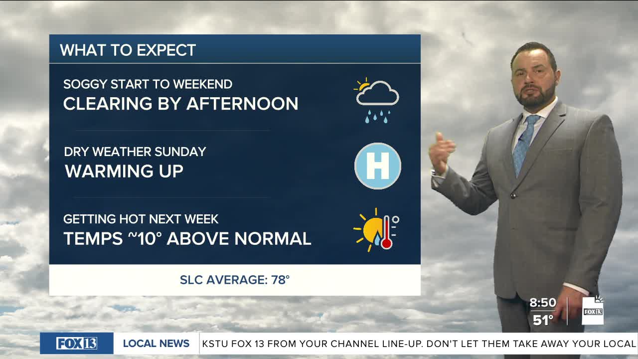

After a cool and unsettled start to the weekend, Utah’s weather is turning the corner today. Scattered showers moving through northern Utah this morning will gradually taper off through the afternoon as skies begin to clear from west to east.
A few lingering clouds and isolated mountain showers are still possible this afternoon, but most valleys should dry out by later today.
Temperatures will also begin a slow rebound this afternoon; daytime highs will reach the upper 60s this afternoon up north, mid 80s in southern Utah. The bigger weather story is the return of warmer and drier conditions for the upcoming work week. High pressure will build across the region beginning Monday, bringing plenty of sunshine and a steady warming trend through at least midweek.
Afternoon temperatures are expected to climb back above normal across much of Utah by Tuesday and Wednesday, with dry conditions statewide. Daytime highs will flirt with triple-digit temperatures down south while northern Utah will be close to 90 degrees by midweek.