Weather

Actions

Mild and Mostly Sunny to Start the Week

Sunday Morning Weather Forecast
Posted

It's another gorgeous start to your Sunday as high pressure is keeping things calm, dry, and mild across Utah today. Expect mostly sunny skies, light winds, and temperatures running about 8–14 degrees above normal for early November.

Graphics from the FOX 13 Weather Center showing the satellite/radar imagery. A giant blue circle with a white letter "H" shows a high presser front that's expected to bring cloud cover to the eastern part of Utah.

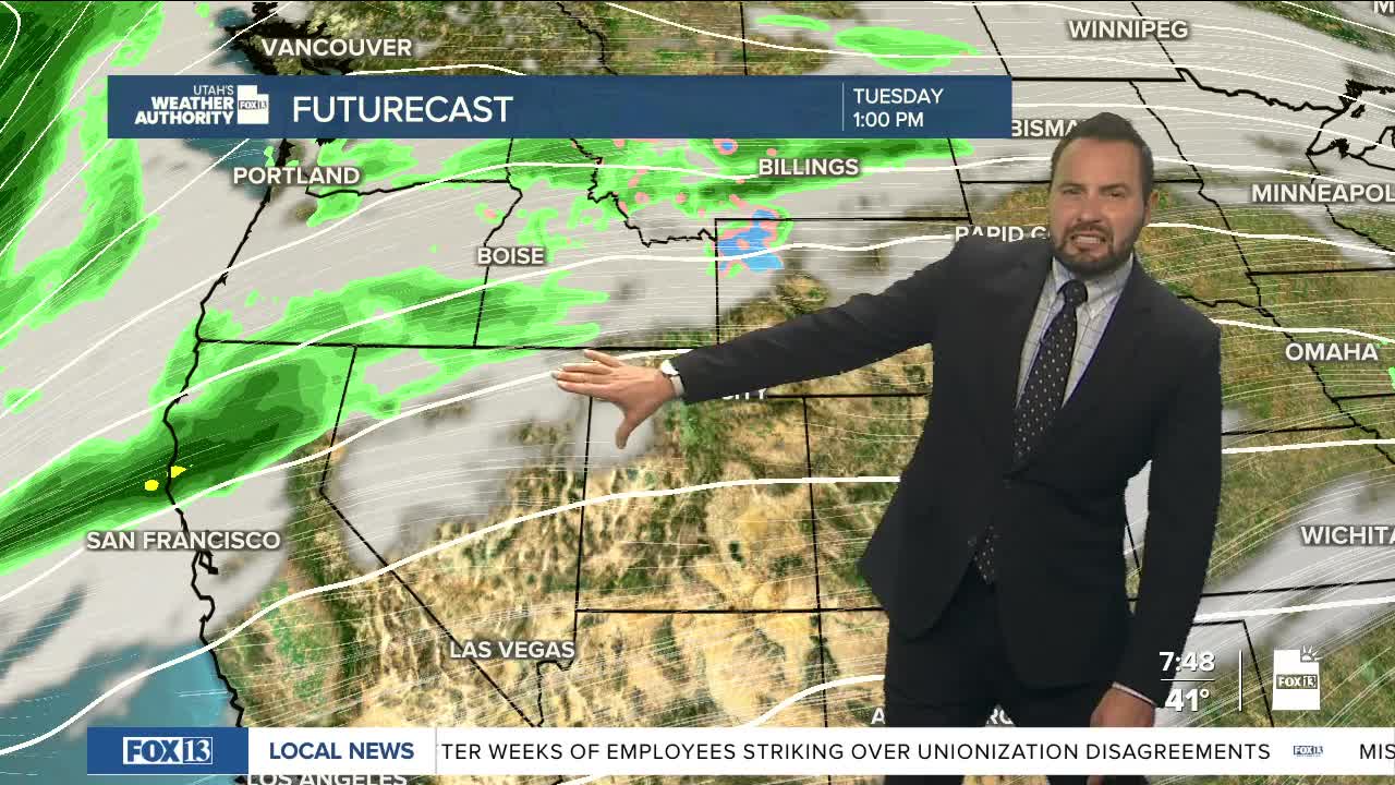
A weak system passing through late tonight into Monday won’t do much other than bring some high clouds our way. After that, we stay warm and quiet through Tuesday.

By Wednesday, breezy southwest winds will pick up as our next weather maker approaches. The strongest gusts are expected across western Utah ahead of a clipper storm for the northern half of the state.

Graphics from the FOX 13 Weather Center showing the predicted path of storm activity. A low-pressure from is coming into the US from the northwest U.S., while a high-pressure from looms from the southwest.

That next front slides through northern Utah late Wednesday night into Thursday, bringing a quick shot of cooler air and a few light showers. Rain totals look minimal, and snow levels will stay fairly high, above 7,000 feet.

Graphics from the FOX 13 Weather Center showing the predicted chance of precipitation. No precipitation is predicted through Wednesday Day, but scattered showers area expected Wednesday Night into Thursday morning before dropping down to isolated showers for the rest of the week.

Another weak system may brush northern Utah late Friday into Saturday, keeping things a bit unsettled to end the week, but once again, nothing too significant!

REAL-TIME WEATHER: Get the latest weather forecasts by downloading the FREE Utah Weather Authority app

Sign up for our Morning E-mail Newsletter to receive the latest headlines in your inbox.