

High pressure moving in this weekend will bring dry, warmer weather, but a string of storms will arrive late Monday and continue through Thursday. This series of storms will be bringing heavy mountain snow and some snow throughout the valleys.
Winds from the southwest are expected to pick up Sunday and strengthen into Monday. That will push temperatures 5 to 15 degrees above normal by Monday in many areas.
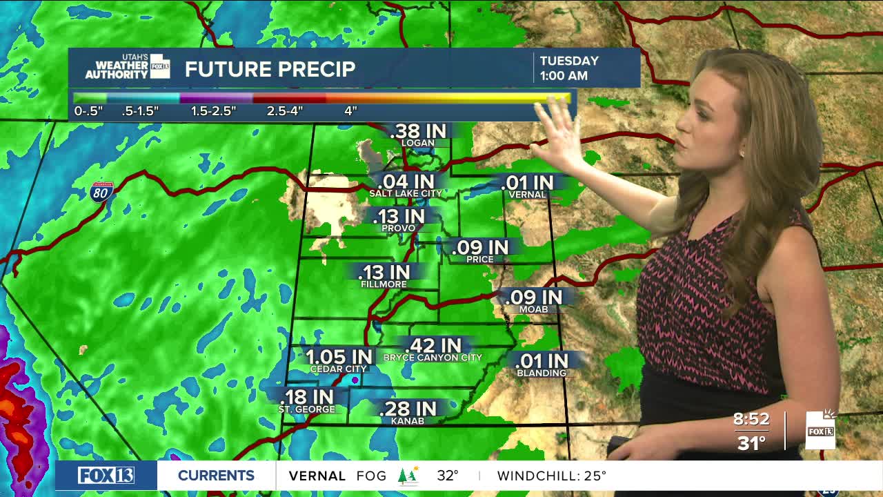
Next week, two storm waves will move through. The first is likely Monday night into Tuesday morning. The second should arrive late Wednesday into Thursday. Each will bring a burst of colder air and moisture.
Mountains are expected to get the most snow. Places that get extra snowfall from wind and terrain, like Brian Head and Provo Canyon, could see the highest totals. Hopefully, mountain snow is more likely to be measured in feet than in inches.
The second storm will shift winds to the west or northwest, favoring areas such as the Cottonwoods, the Bear River Range and higher valleys along I-15. That change makes snowfall amounts for Wednesday and Thursday harder to predict.
Valleys will also see snow, mainly by Tuesday night. Southern Utah valleys (except St. George) have a better chance for heavier valley snow compared to Northern valleys.
