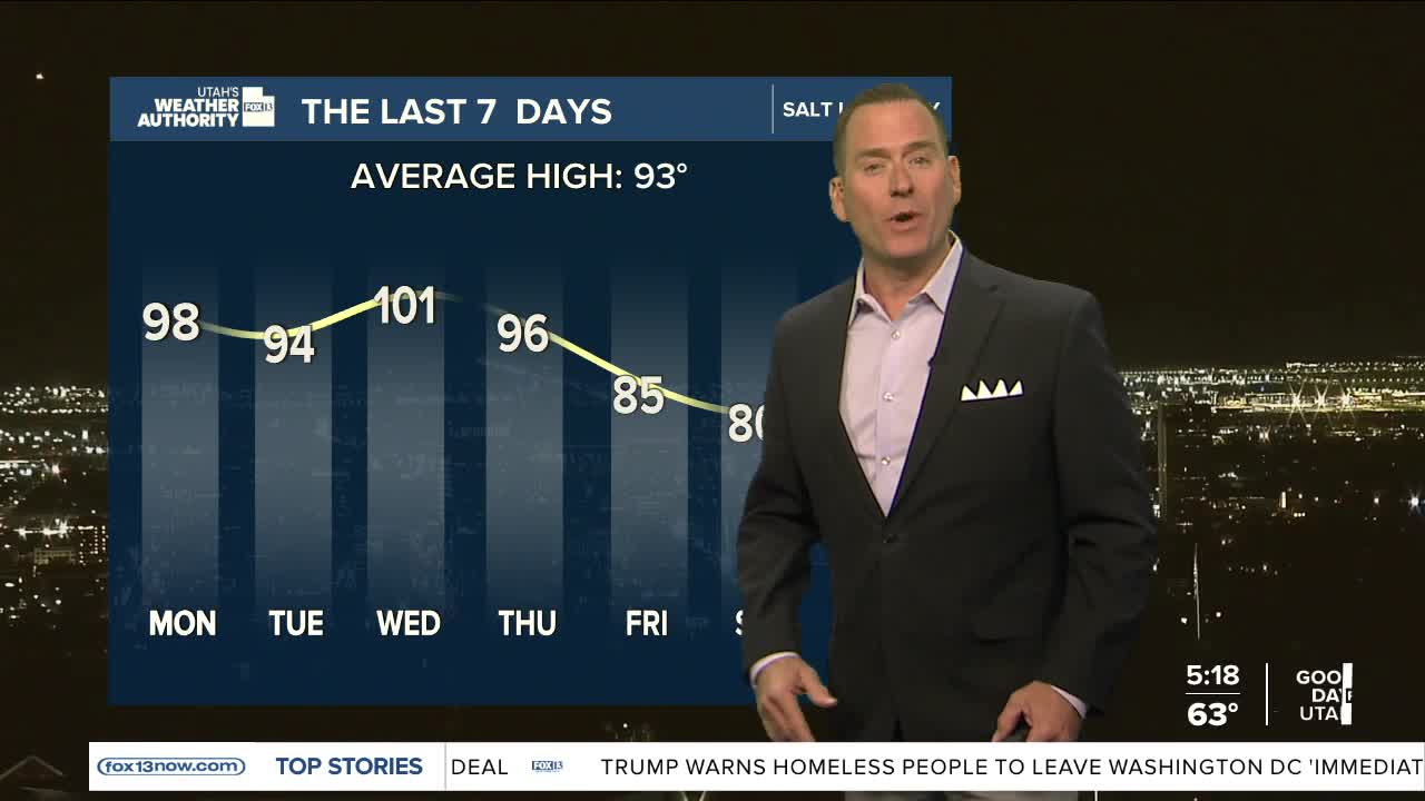


After cooler weather over the weekend, it's time to brace yourself for the heat!
High pressure building over the interior west will bring a gradual warming trend through the middle of the week. Temps along the Wasatch Front will climb back near normal today and all the up near 100 again by Wednesday!
Monsoonal moisture will move back in later this week and bring a chance of showers & t-storms. Storms could pop up as early as late Wednesday and Thursday. At first, dry storms with gusty winds are most likely. As moisture increases, there's a better chance of getting some rain by Friday. There's still a lot of uncertainty regarding the precipitation, but if you have outdoor plans Friday (including Friday night football!) keep in mind that slightly cooler, wet weather is possible.
Any rain wouldn't stick around long. It looks like it'll dry out pretty quickly this weekend.
SALT LAKE CITY
Monday: Sunny & warmer. Highs: Low 90s.
Monday Night: Mostly clear. Lows: Upper 60s.
ST. GEORGE
Monday: Sunny & very hot. Highs: Near 107.
Monday Night: Mostly clear. Lows: Mid 70s.
