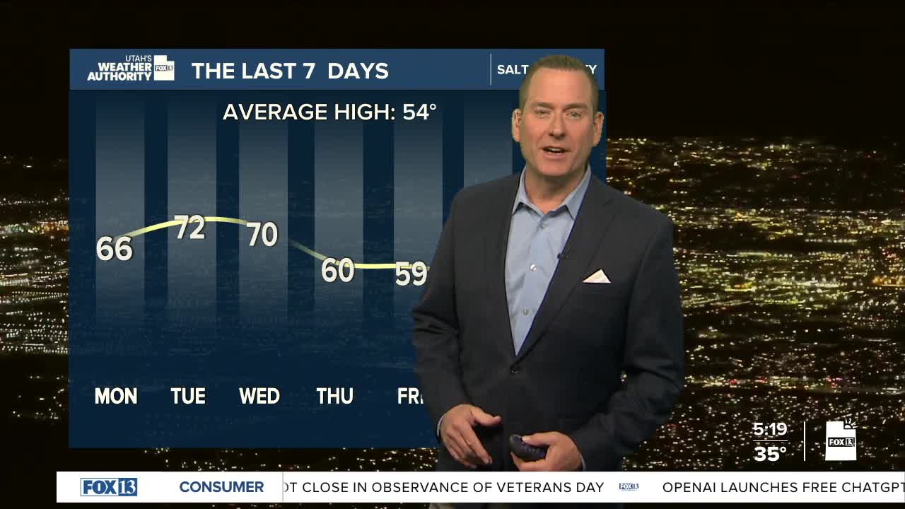


The weekend is over, but we're going to hang onto the sunny weather for a few more days! And with high pressure building, temps will continue to climb. It looks like it'll be about 5-10 degrees above average through the middle of the week.
On Wednesday, it's going to get windy ahead of an approaching storm. SW winds could gust between 40-45 mph across Western & SW Utah.
A cold storm will move in Thursday night through Friday. The storm could split apart and weaken, but it's looking more likely that it'll usher in much colder, wet weather. Besides the chance of heavy valley rain & mountain snow, there might even be some snow all the way down to the valley floors! Winter is just around the corner!
SALT LAKE CITY
Monday: Partly cloudy. Highs: Near 60.
Monday Night: Partly cloudy. Lows: Lower 40s.
ST. GEORGE
Monday: Sunny & mild. Highs: Mid 70s.
Monday Night: Partly cloudy. Lows: Mid 40s.
