

If you wanted a break from the summer heat, you've got it! Cool air moved in behind a strong cold front yesterday, and as a result temps will be running about 10-25 degrees below average across Utah today!
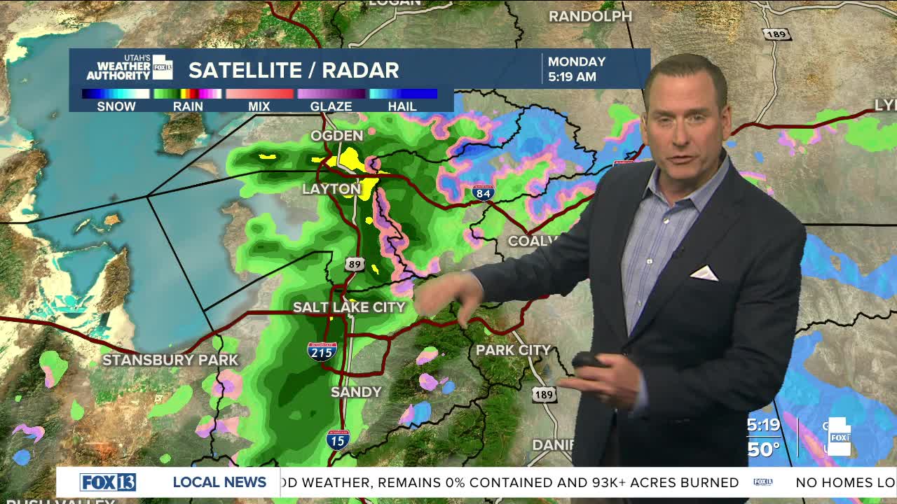
After early morning showers in the north, it's going to dry out and become sunny. Gusty winds will keep fire danger high this afternoon in SE Utah and along the Colorado border.
Temps will gradually climb back near normal by the end of the week, so it looks like hot weather for the holiday weekend. Winds will also increase and likely lead to more widespread critical fire danger by Thursday & Friday.
SALT LAKE CITY
Monday: Becoming sunny after early morning showers. Highs: Mid 70s.
Monday Night: Mostly clear & cool. Lows: Lower 50s.
ST. GEORGE
Monday: Sunny & warm. Highs: Low 90s.
Monday Night: Mostly clear. Lows: Mid 60s.
