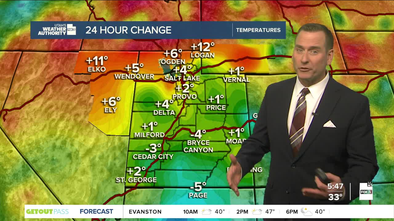

The weather word of the day around Utah on Tuesday continues to be "mild" as conditions will remain as they have over the last few days.
Temperatures will stay nearly 20 degrees above average for this time of year, reaching the low 60s in southern Utah and, once again, the low 50s in northern Utah.
Conditions will change beginning Tuesday evening when a storm moves in that will bring snow to the mountains and rain to the valleys. Snow levels could drop to as low as the benches in northern Utah on Wednesday evening, but the precipitation will taper off fairly quickly at the end of the storm.
All in all, valley snow is very unlikely, with the best chance being a dusting on the far northern benches.
Inversions and the valley haze will make way for better air quality once the storms roll into the state, bringing stronger winds over the mountains.
Showers will continue into Thursday before dissipating ahead of another storm that arrives on Friday, with the best chance of heavier precipitation coming into Saturday with moderate to heavy snow at high elevations.
SALT LAKE CITY
Tuesday: Partly cloudy. Highs: Low 50s.
Tuesday Night: Becoming cloudy with a chance of rain after midnight. Lows: Near 40.
ST. GEORGE
Tuesday: Sunny. Highs: Low 60s.
Tuesday Night: Mostly clear. Lows: Near 40.
