

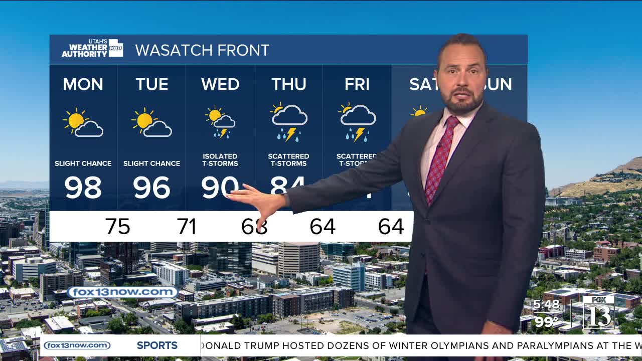

It's another hot one for the Wasatch Front today as high heat remains over the region. We also have another active day for the state as monsoonal moisture continues to move in. Scattered thunderstorms are expected this afternoon and evening, with storms capable of producing heavy rain and flash flooding.
The greatest concern will be in slot canyons, normally dry washes, slick rock areas, and recent burn scars, where runoff can quickly turn dangerous. The flash flood threat is expected to continue through much of the upcoming week as monsoonal moisture remains in place across Utah.

Meanwhile, dangerous heat continues across parts of northern Utah and southern Utah's low deserts. Excessive Heat Warnings remain in effect for lower Washington County, Zion National Park and the Glen Canyon area.
While temperatures may ease slightly Monday, overnight lows near or above 80 degrees will provide little relief and allow heat stress to build over time. Cooler weather will finally slide in throughout the work week.
Stay weather aware if you're heading outdoors Sunday, especially in southern Utah. A storm that looks distant can still send a flash flood downstream into a canyon or wash.