
Mountain showers and dry thunderstorms will develop Saturday afternoon across southern Utah. Many of these storms may produce lightning and wind but little to no rain, raising the risk of wildfires.
On Sunday, storms in the south will have a better chance of producing soaking rain, while areas farther north may still see isolated dry storms. Some localized flash flooding is possible in the south.
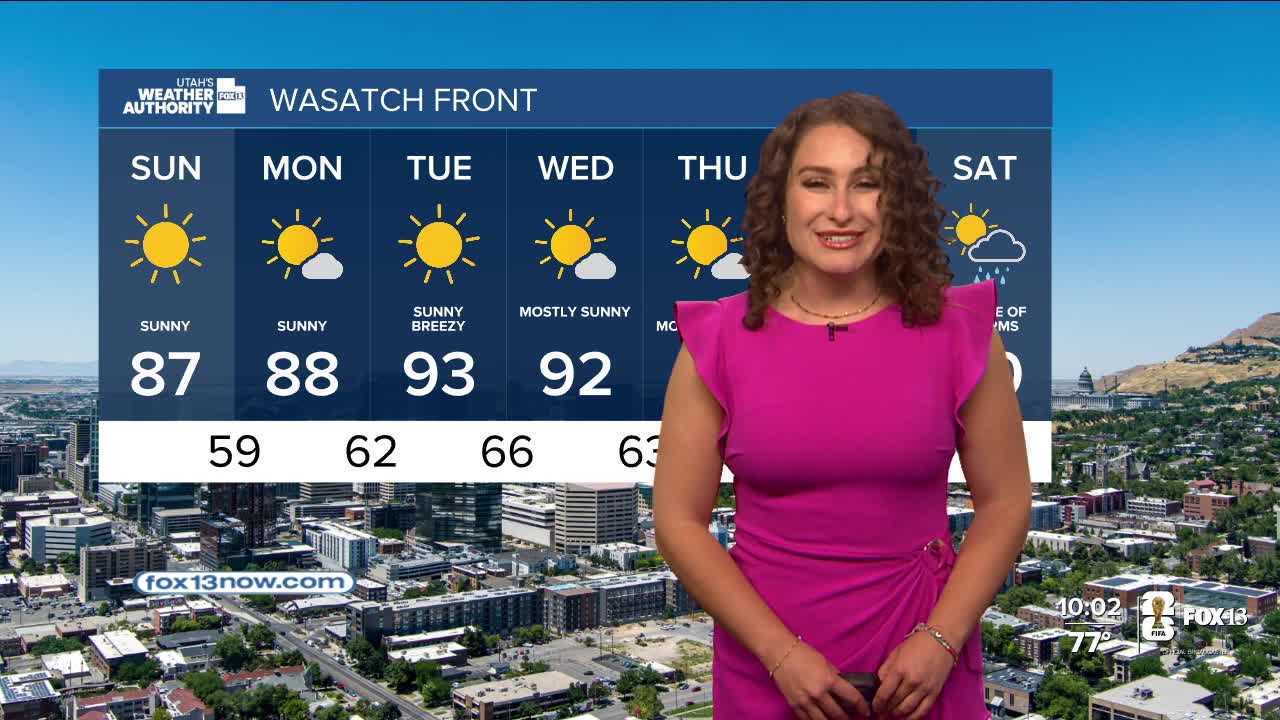
After the weekend, high pressure will build over the Great Basin which will push temperatures up to about 15 degrees above normal for June. Many valley areas could see moderate heat risk levels by Wednesday, with hot and very dry conditions across the state.
Gusty northwest winds are expected to return midweek, which, combined with the heat and low humidity, could create critical fire weather across much of Utah.
The Red Flag Warning is in effect Saturday evening for parts of southern Utah due to expected dry lightning and strong outflow winds of more than 40 mph. More isolated dry thunderstorms are possible in central Utah on Sunday.
