



Keep the sprinklers turned off!
The surge of monsoonal moisture will bring one more day of widespread showers & thunderstorms, mainly in the afternoon and evening. Storms likely won't be as strong as yesterday, but heavy rain is possible and could lead to more flash flooding.
A Flood Watch over much of Central & Southern Utah has been extended to late tonight. Trouble spots like slot canyons, slick rock, normally dry washes and areas near burn scars are the main concern. As dry air moves in, the flash flood potential will drop significantly this weekend.
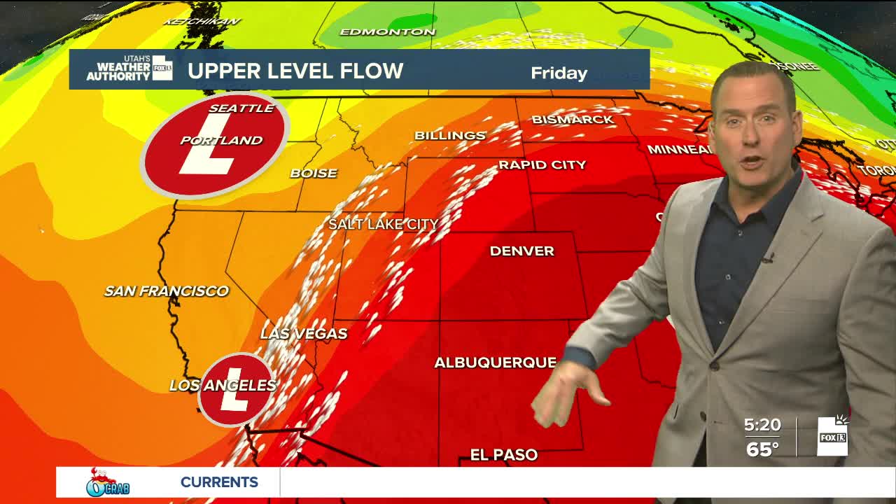
The weekend is looking good! PM thunderstorms will still be possible, but mainly over the mountains. It'll gradually warm up the next few days with temperatures climbing back near normal by early next week.
SALT LAKE CITY
Friday: Mostly cloudy with about a 40% chance of showers & t-storms, mainly in the afternoon. Highs: Near 80.
Friday Night: Decreasing clouds. Lows: Near 60.
Saturday: Sunny & warmer. Highs: Mid 80s.
Sunday: Mostly sunny. Highs: Upper 80s.
ST. GEORGE
Friday: Mostly cloudy & cooler with a 70% chance of showers & t-storms. Some storms may produce heavy rainfall in the morning. Highs: Mid 80s.
Friday Night: Becoming partly cloudy with a slight chance of showers & t-storms ending. Lows: Upper 60s.
Saturday: Sunny. Highs: Low 90s.
Sunday: Mostly Sunny. Highs: Mid 90s.