
It's a gorgeous start to the day with mostly sunshine over much of the state. Some cloud cover will move in from the southwest over central and southern Utah, along with slightly warmer temperatures from yesterday.
Record high temperatures are expected to fall later this afternoon in several locations, with highs in the mid to upper 70s for the Wasatch Front, and in the upper 80s in St. George.
A cold front arrives late Monday into Tuesday, knocking temperatures down about 5 to 15 degrees, depending on location. Even with the cooldown, highs will still run above normal.

Precipitation with this front looks limited, mainly across northern Utah. Winds will increase fire danger for many locations with Red Flag Warnings in effect for Southwest Wyoming through Monday evening.

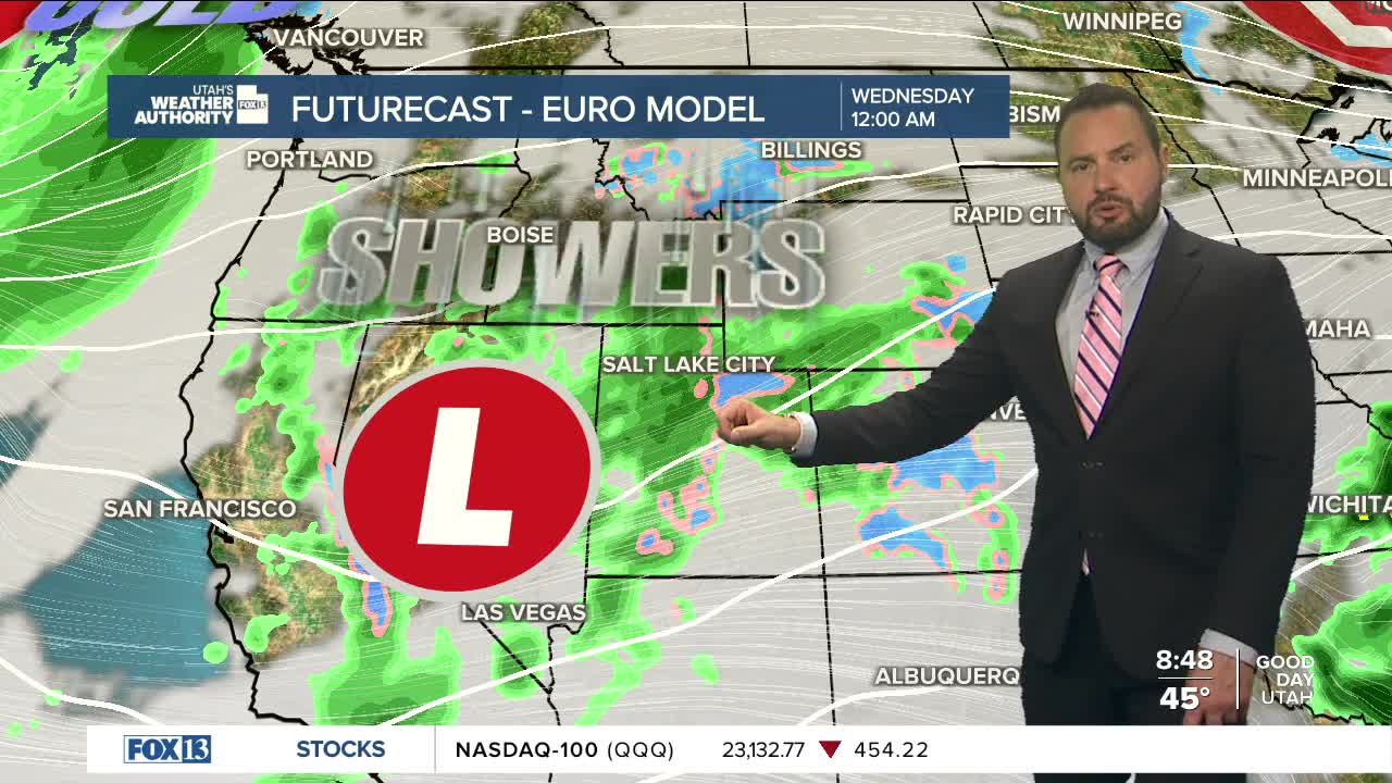
A more active system moves in late Tuesday into Wednesday, bringing widespread rain and mountain snow. Snow levels will drop to around 7,500 to 9,000 feet, allowing for some accumulation in the higher terrain.
Another system arrives Thursday with stronger winds and colder air. There’s a chance temperatures could drop enough for light valley snow, but confidence is still a bit uncertain. Stay tuned!
