

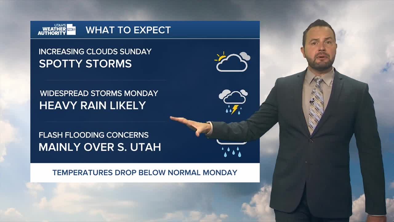

It's a mix of sun and clouds for the state Sunday morning with increasing moisture throughout the day.
Southwest flow is in place, allowing for a transport of tropical moisture into the region into the work week. This will set us up for scattered showers and thunderstorms across the mountains and eastern Utah on Sunday, spreading to all areas on Monday.

The bulk of the moisture arrives Monday and Tuesday as a storm system taps into deep tropical moisture from Hurricanes Odalys and Polo. That moisture will fuel widespread rain across southern and eastern Utah, with some areas seeing locally heavy rainfall.
The risk for flash flooding is increasing, particularly across southern Utah, where the heaviest rain is expected. The National Weather Service says parts of southern Utah are now under a moderate risk for excessive rainfall, a level 3 of 4, meaning numerous flash floods are expected.

Cooler temperatures will accompany the storm, with highs Monday and Tuesday running several degrees below normal. Daytime highs will be in the low 70s up north with upper 70s for St. George.
Enjoy the rain! Drier, more seasonable weather is expected to return by midweek and continue through at least Friday.