



Pioneer Day will be a hot one!
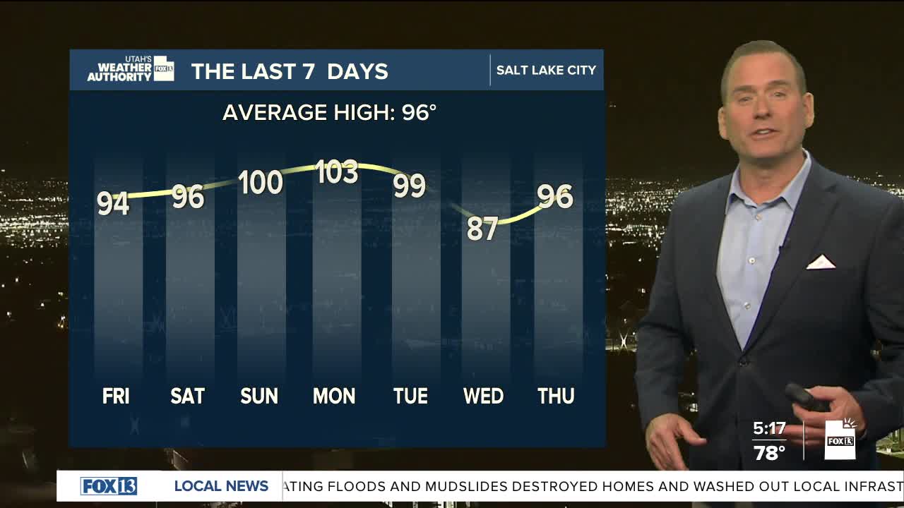
Temperatures in Salt Lake City and along the Wasatch Front are forecast to climb into the upper 90s to near 100 degrees this afternoon, while St. George and parts of southern Utah could push well above 105. With overnight temps only dropping into the 70s, there won't be much relief. As a result, the National Weather Service has issued an Extreme Heat Watch for the Wasatch Front and Cache Valleys from Saturday through Monday, warning that prolonged heat could increase the risk of heat-related illness.
The hot weather will likely stick around for the next several days. The combination of intense afternoon heat and warm overnight lows will create dangerous conditions for anyone spending extended time outdoors. Make sure to stay hydrated, limit strenuous afternoon activities and check on vulnerable neighbors who might not have AC or are having a tough time dealing with the sweltering temps.
Besides the heat, monsoonal moisture is back in the picture. Scattered showers & t-storms are possible this afternoon & evening. The biggest threat will be over the Central & Southern Mountains. The main impact of the storms will be gusty outflow winds and the chance of heavy rain. Flash flooding will remain a concern.
SALT LAKE CITY:
Pioneer Day: Partly cloudy with a 20% chance of showers & thunderstorms in the afternoon. Highs: Near 101.
10 pm Fireworks: Partly cloudy with isolated t-storms possible. Temps Near 90.
Friday Night: Partly cloudy. Lows: Upper 70s.
ST. GEORGE:
Pioneer Day: Mostly sunny with a 20% chance of PM showers & t-storms. Highs: Near 107.
10 pm Fireworks: Partly cloudy. Temps in the Mid 90s.
Friday Night: Mostly clear. Lows: Lower 80s.