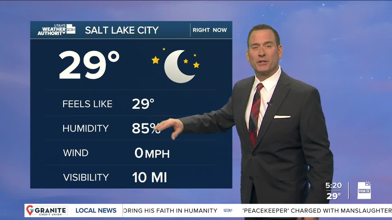
Snow is finally on the way! A significant winter storm will move in later tonight, impacting northern & central Utah through early Sunday morning.
It's cold enough that as snow begins later tonight it will fall down to the valley floors. Be prepared for the possibility of a messy morning commute, although it's going to warm up enough that valley snow will change over to rain in the afternoon.
There's likely going to be an inch or less of snow in the valleys and should melt off pretty quickly. 12 to 24 inches is expected in the northern mountains, and possibly even up to 30 inches in the Cottonwoods. There could be several inches along the Wasatch Back and in the central mountains. Snow will taper off early Sunday.
SALT LAKE CITY
Thursday: Mostly sunny. Highs: Near 40.
Thursday Night: Becoming cloudy with snow likely after midnight. Lows: Near 30.
Friday: Snow likely in the morning, then turning to a rain/snow mix in the afternoon. Highs: Near 40.
ST. GEORGE
Thursday: Sunny. Highs: Near 50.
Thursday Night: Mostly clear & cold. Lows: Near 30.
Friday: Sunny. Highs: Mid 50s.


