

The calendar says spring, but it's going to feel like summer!
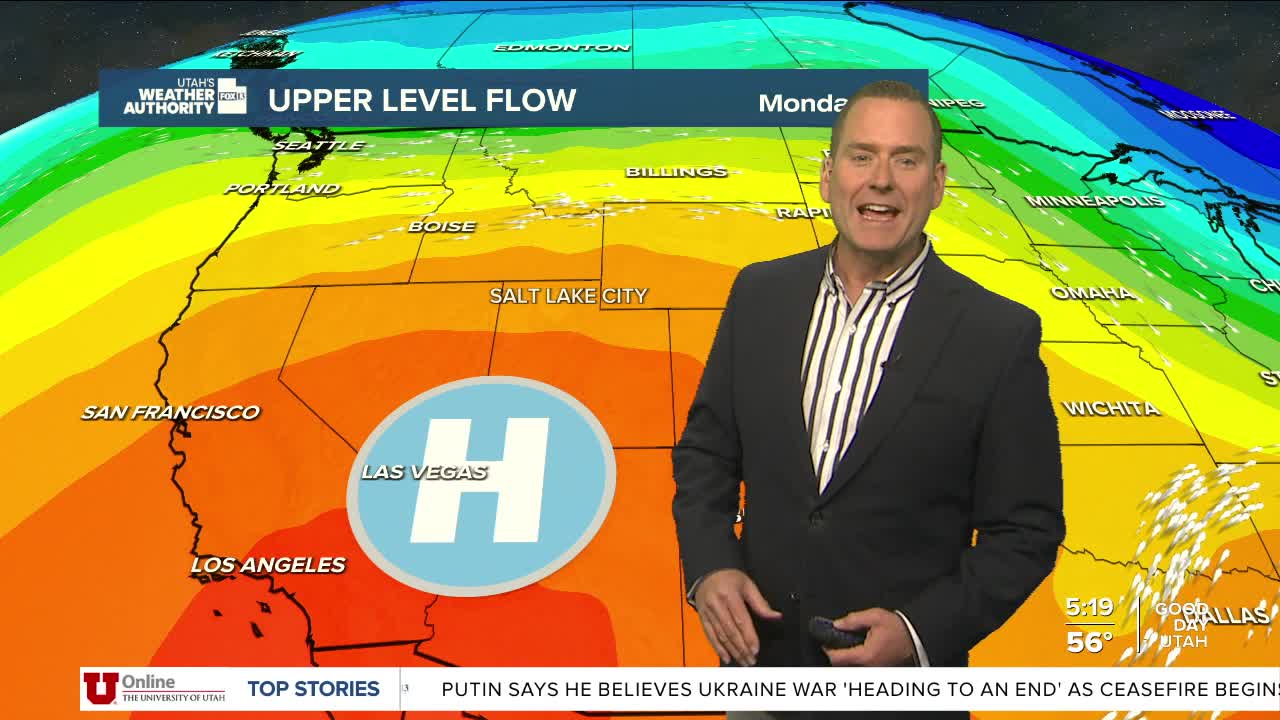
Utah is set to experience an early season heatwave over the next two days with temperatures climbing as much as 15-25 degrees above average. Record to near record heat is expected across much of the area. In Salt Lake City the temperature will climb into the low 90s over the next few days. It'll hover near 100 in St. George today & tomorrow.
This will be the warmest weather so far this year. Since we're not used to it, make sure you're taking frequent breaks to get out of the heat and drink plenty of water. That's especially important if you're working outside!
Gusty winds are possible Wednesday. That combined with the hot, dry weather will lead to increased fire danger.
A dry cold front will slide across the state and bring cooler temperatures by Thursday.
SALT LAKE CITY
Monday: Sunny & warmer. Highs: Near 90.
Monday Night: Mostly clear. Lows: Near 60.
ST. GEORGE
Monday: Sunny. Highs: Upper 90s.
Monday Night: Clear. Lows: Lower 60s.
