

Vacation is coming to an end for the kids, but it's still summer and it'll certainly feel like it today! Near record heat is possible with temps climbing near 100 along the Wasatch Front and near 107 in lower Washington County. Luckily, it'll be cooler the next few days with temps dropping about 10 degrees by the weekend.
Increasing moisture will bring a chance of dry thunderstorms today. With gusty outflow winds possible, fire danger will increase. Dry t-storms will become more likely tomorrow with a better chance of some storms bringing some rain by Friday.
It'll dry out and warm up again by the end of the weekend.
SALT LAKE CITY
Wednesday: Sunny & hot. Highs: Near 100.
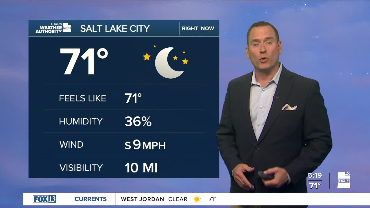
Wednesday Night: Partly cloudy. Lows: Near 70.
ST. GEORGE
Wednesday: Becoming partly cloudy. Highs: Near 107.
Wednesday Night: Mostly clear. Lows: Upper 70s.
