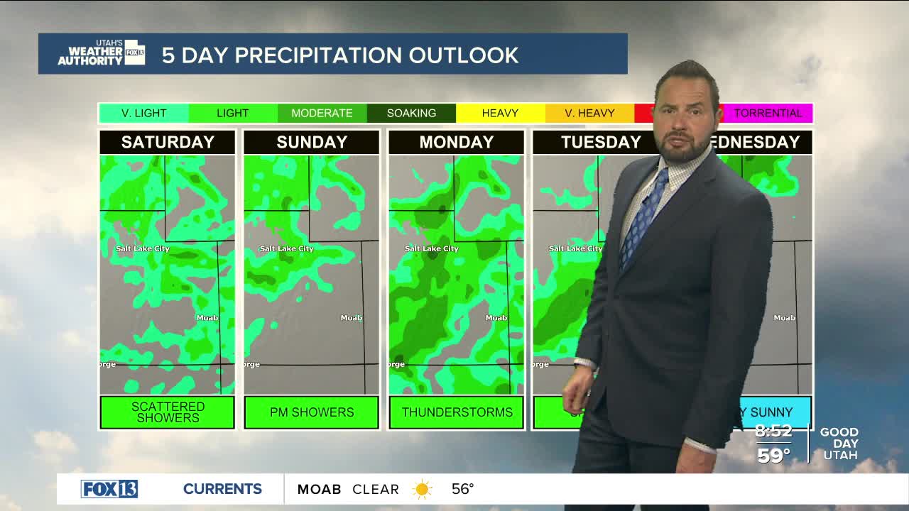

Moisture moving into Utah this morning, bringing a few isolated showers early, then more scattered activity this afternoon before tapering off this evening. Daytime highs will reach the mid to upper 60's up north with mid 70's down south.
The incoming system from California is weakening as it moves inland, so while a few isolated wind gusts over 40 mph are possible, widespread strong winds are not expected. Showers and a few thunderstorms will be more widespread than the past couple of days, especially across northern Utah and east of I-15.

Any storm over sensitive areas could still produce localized flash flooding. Flash flooding is "Possible" for recreational areas in south central and southeastern Utah today as well. Meaning, isolated flash flooding is a concern in some low-lying areas, slot canyons, or normal dry washes.
Another storm system arrives Sunday into early Tuesday, bringing cooler temperatures and unsettled weather. Highs will drop below normal by Monday, with rain in the valleys and snow in the mountains. A brief break arrives midweek, but another colder system could move in late in the week, potentially bringing valley rain and even snow.

