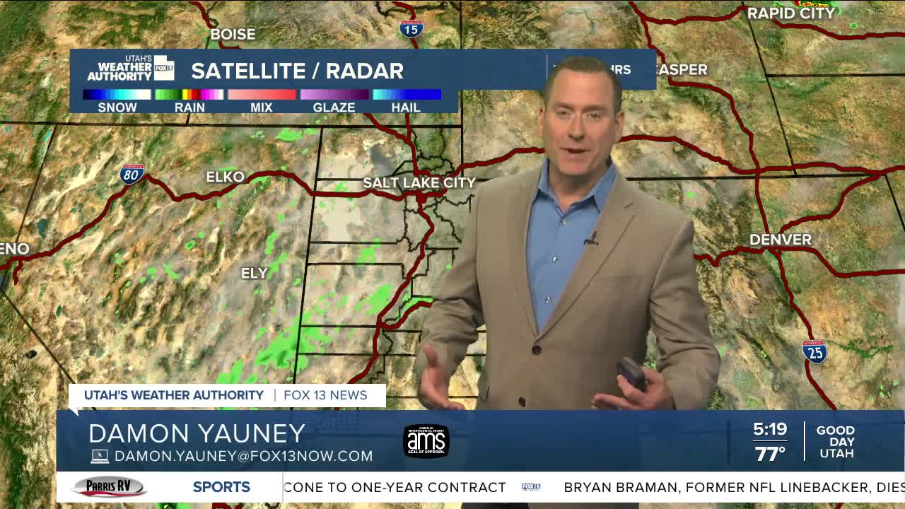


The monsoon pattern is in full swing with moisture moving north across most of the area today.
Showers & t-storms and thunderstorms are possible this afternoon & evening, so if you have outdoor plans you need to keep an eye on the sky! Any storm could bring rain with the best chance of flash flooding across SW Utah and near burn scars in Central Utah. The strongest storms could be over NW Utah with high winds gusts likely having the biggest impact.
A drying trend is expected this weekend, so storms will become less likely. Hot, dry, windy conditions are expected again by early next week.
SALT LAKE CITY
Friday: Mostly cloudy with a 30% chance of scattered showers & t-storms in the afternoon & evening. Highs: Low 90s.
Friday Night: Mostly cloudy. Isolated showers & t-storms possible. Lows: Lower 70s.
Saturday: Partly cloudy with a slight chance of PM showers & t-storms. Highs: Low 90s.
Sunday: Sunny. Highs: Mid 90s.
ST. GEORGE
Friday: Becoming partly cloudy with isolated showers & t-storms in the afternoon & evening. Highs: Upper 90s.
Friday Night: Mostly clear. Lows: Mid 70s.
Saturday: Sunny & hot. Highs: Near 100.
Sunday: Sunny & hot. Highs: Near 101.
