

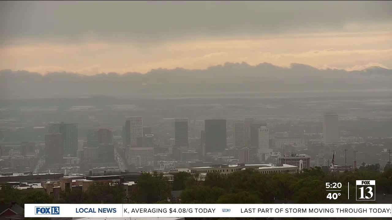


Mother Nature is moody today!
It's going to be a soggy start to the week for a lot of you with valley rain & mountain snow continuing, mainly across northern & western Utah. The best chance of showers and isolated t-storms will be this afternoon. Another 3-5 inches of snow is possible above 6,500 / 7,000 ft.
Some valleys will drop below freezing tonight, so some of you will have to keep an eye on the plants and outdoor plumbing again! The coldest temps will be across southwest & central Utah as well as the Western Uinta Basin.
Showers will linger across the north tomorrow, but won't be as likely. It'll warm up and dry out the middle of the week.
SALT LAKE CITY
Monday: Rain showers along with a slight chance of t-storms in the afternoon. Highs: Low 50s.
Monday Night: Mostly cloudy & cold with a chance of showers. Lows: Upper 30s.
ST. GEORGE
Monday: Sunny. Highs: Near 70.
Monday Night: Mostly clear. Lows: Mid 40s.