



Still hot with thunderstorms becoming more likely today!
Most showers & thunderstorms that develop today will be over the mountains, especially stretching from Central Utah up into the Uintas. There's about 20% chance of t-storms in most valleys. Some of the strongest storms could be over Northern Utah with the biggest impact likely strong wind gusts.
It stays hot tomorrow, but increasing moisture & a cold front will bring cooler, wet weather this weekend.
SALT LAKE CITY
Thursday: Becoming partly cloudy with a 20% chance of showers & t-storms in the afternoon & evening. Highs: Mid 90s.
Thursday Night: Becoming mostly cloudy. Lows: Lower 70s.
ST. GEORGE
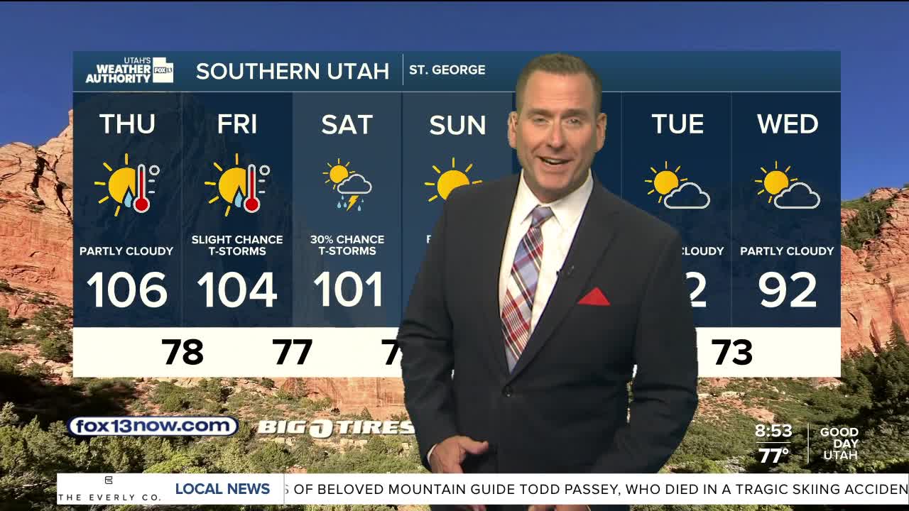
Thursday: Partly cloudy & very hot. Highs: Near 106.
Thursday Night: Increasing clouds. Lows: Near 80.