
Northern Utah is seeing a small dip in temperatures this afternoon from yesterday. Otherwise, we're heading into a much warmer weather pattern for the second half of the weekend and early next week.
A weak weather disturbance moving to the east will keep temperatures just a few degrees cooler compared to recent days, with a bit of high cloud cover too. Most areas will stay dry, though a stray afternoon mountain shower cannot be ruled out.
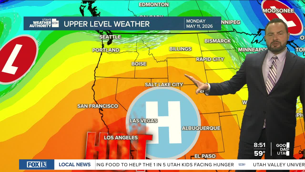
By Sunday, a ridge of high pressure will begin building across the western U.S., sending temperatures soaring across Utah. The hottest weather is expected Monday and Tuesday, with many valley locations climbing into the upper 80s and low 90s, potentially setting new record highs.
In lower elevations of southwestern Utah, including parts of Washington County, highs could see temps in the triple digits. Stay tuned!
