

PARK CITY, Utah — The first of multiple storms to cross the state brought decent snow totals to some areas in Utah, while others are waiting for their fair share of snowfall.
Brian Head Resort in southern Utah was the big winner, basking in 11 inches of overnight snow from late Monday to early Tuesday. Other hot... or cold... spots included Tony Grove (12"), Timpanogos (10") and Trial Lake (9"), which are all located in the northern sections of the state.
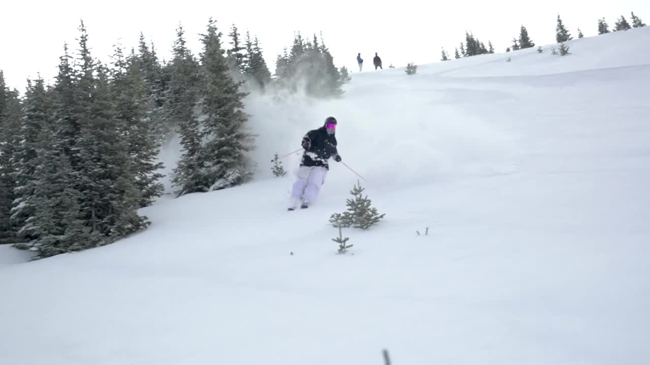
Ski resorts in northern Utah were happy to wake up with a few inches of added powder to please guests, and are hoping for more as a new system moves in on Wednesday.
Overnight ski resort snow totals:
- Beaver - 7 inches
- Deer Valley - 4"
- Solitude - 4"
- Alta - 3"
- Park City - 3"
- Snowbird - 3"
- Brighton - 2"
- Snowbasin - 2"
- Sundance - 1"
Video below shows snow accumulations at Brian Head Resort:
A Winter Storm Warning will remain in effect for the Wasatch Back and Wasatch Mountains, including areas such as Park City, Heber City, Alta and Huntsville, and will last through 5 a.m. Thursday. A Warning is also in effect for the southern mountains, including Alton and Brian Head, and will remain in place until 5 p.m. Wednesday.
While snow totals didn't make headlines during the opening storm this week, heavy winds certainly did. Sundance Resort received only 1 inch of snow, but recorded a peak wind gust of 103 miles per hour.

The high winds caused multiple semi trucks to tip over on Interstate 80 from Salt Lake City to Wendover, forcing high-profile vehicle restrictions to be put in place on the highway. Those restrictions have since been removed.
