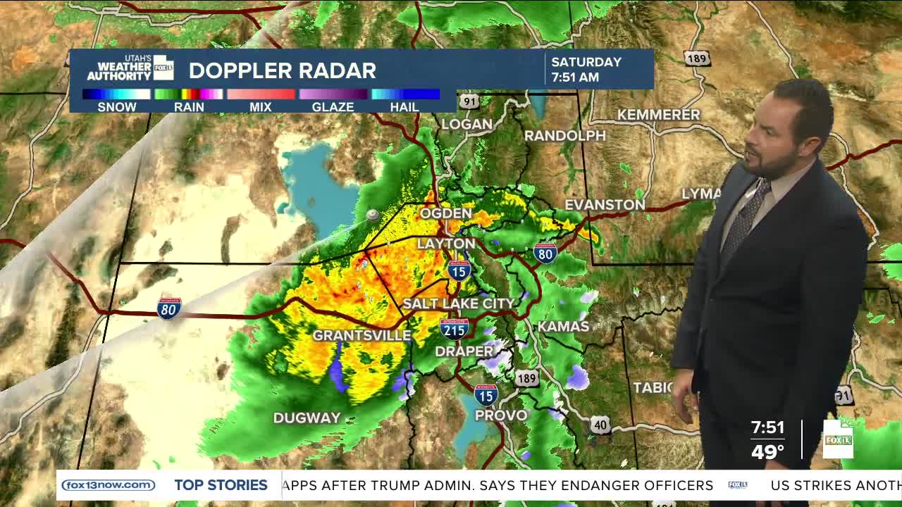

A soggy Saturday across northern Utah as many valleys have already picked up between a half inch and more than 1.50" of rain. The Tooele Valley has been hit hardest so far, with 1.76" in the past 24 hours (as of 8 a.m.). With moderate to heavy rain expected to continue along much of the Wasatch Front through early afternoon, some urban flooding is possible.
Another 0.50" to 1.00" of rain could fall in areas north of Salt Lake County through Sunday morning. Snow levels have dropped to around 8,000 feet.
Temperatures are much colder this weekend now that the cold front has moved through. Highs will stay in the 50s across many northern valleys, while St. George will see highs in the 70s. Sunday brings slightly warmer temperatures with a small chance of lingering showers.
The storm clears out early Monday, kicking off a warming trend through midweek. Highs will return to the mid-70s up north and the mid-80s down south.
Enjoy the rain this weekend!
