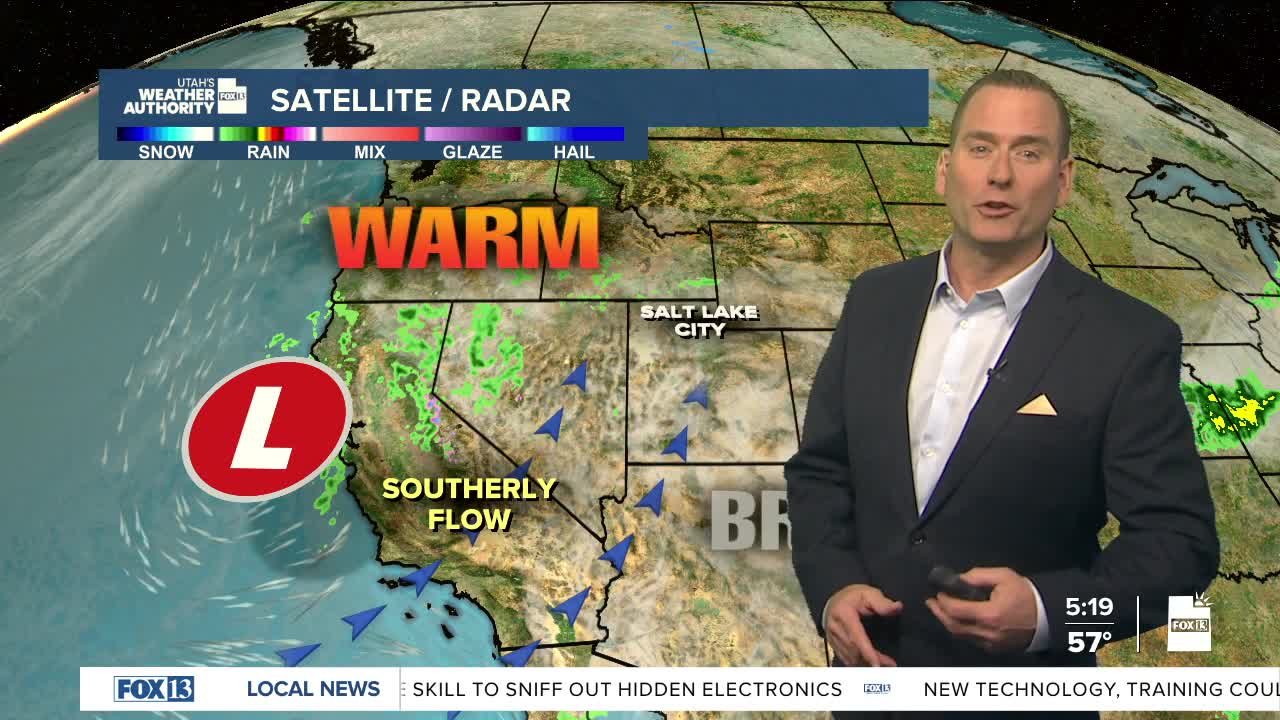


One more warm day before storms move in! Temps will climb about 10-15 degrees above average today. If we hit our forecast high of 78 in Salt Lake city this afternoon, that'll make it the warmest day this week.
Two storms will move through this weekend. The first slides across Northern UT & SW Wyoming on Saturday. The storm will be weakening with showers & isolated t-storms most likely across the north. Mountain snow will be light and mainly above 9,000 feet. Valley temps will be several degrees cooler, but still very mild for early April.
After a lull through Sunday afternoon, a stronger, colder storm will impact the area from late Sunday into Tuesday. Precipitation will become widespread with snow levels dropping down to about 6,000 feet by Monday. If the storms holds together, significant snow is possible in the northern mountains with up to 6-16 inches piling up in the Cottonwoods.
Temperatures will take a nose-dive and drop about 20 degrees lower by Monday. It'll be showery & cool across the north on Tuesday, while the south will be drying out.
Warmer, dry conditions are on tap for next Wednesday with a chance of more wet weather late next week.
SALT LAKE CITY
Friday: Partly cloudy & warmer. South winds 10-20 mph. Highs: Upper 70s.
Friday Night: Partly cloudy. Lows: Lower 50s.
Saturday: Partly cloudy & breezy with showers becoming likely by afternoon. Isolated t-storms could pop up. South winds increasing to 15-25 mph. Highs: Near 70.
Sunday: Partly cloudy with showers becoming likely again during the afternoon & evening. Highs: Upper 60s.
ST. GEORGE
Friday: Partly cloudy, warm, & breezy. SW winds 10-20 mph. Highs: Low 80s.
Friday Night: Mostly clear. Lows: Lower 50s.
Saturday: Sunny. SW winds 10-20 mph. Highs: Mid 70s.
Sunday: Partly cloudy & cooler with a chance of afternoon showers. Highs: Near 70.
