

September is almost over, but it's going to feel like summer this afternoon! Temps will climb back into the mid 80s along the Wasatch Front. That's not quite into record territory, but it is about 10 degrees above average.
Moisture increasing ahead of a slow-moving storm will bring increasing clouds and a chance of showers & t-storms to Southern Utah today. In the southwest, some of the storms could become severe with heavy rain, small hail, and strong gusty winds possible. Be flexible with any outdoor plans and make sure you've got shelter nearby!
Wet weather will move north over the weekend with much cooler temps on tap for early next week.
SALT LAKE CITY
Thursday: Sunny & warmer. Highs: Mid 80s.
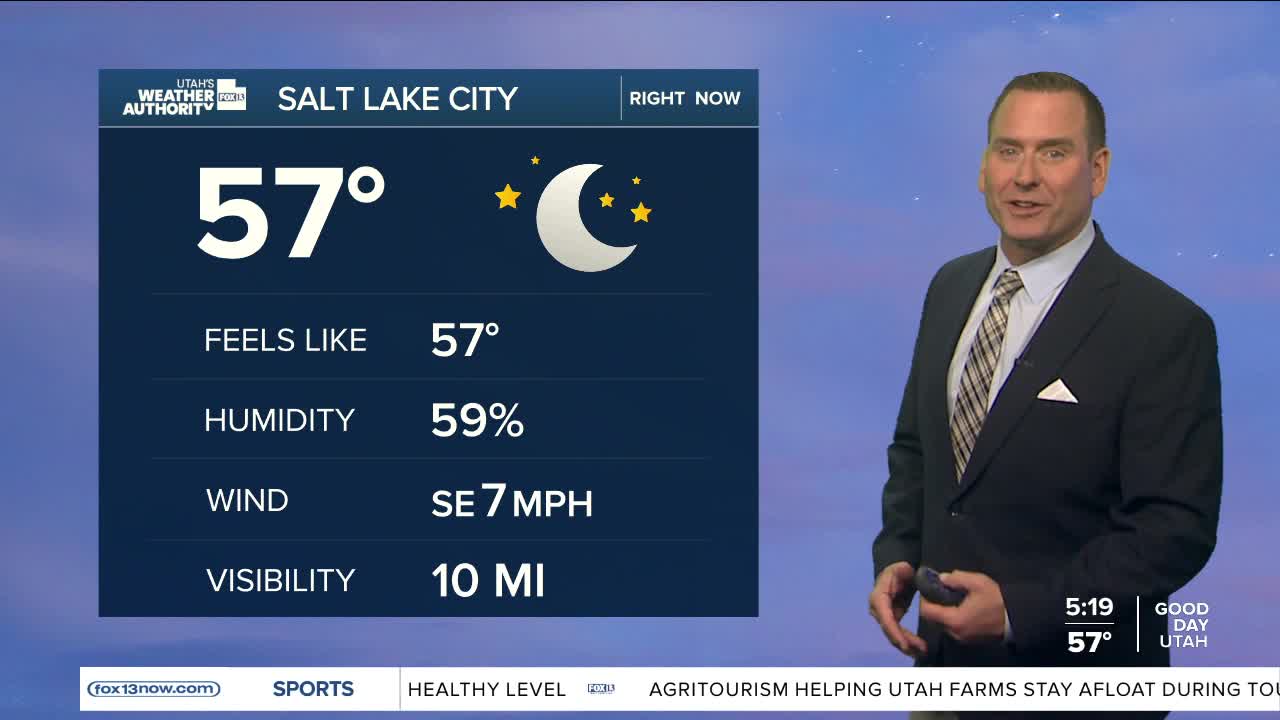
Thursday Night: Partly cloudy with a 10% chance of showers & t-storms after midnight. Lows: Lower 60s.
ST. GEORGE
Thursday: Becoming partly cloudy with a 40% chance of showers & t-storms in the afternoon. Highs: Low 90s.
Thursday Night: Partly cloudy with showers & t-storms decreasing. Lows: Mid 60s.
