

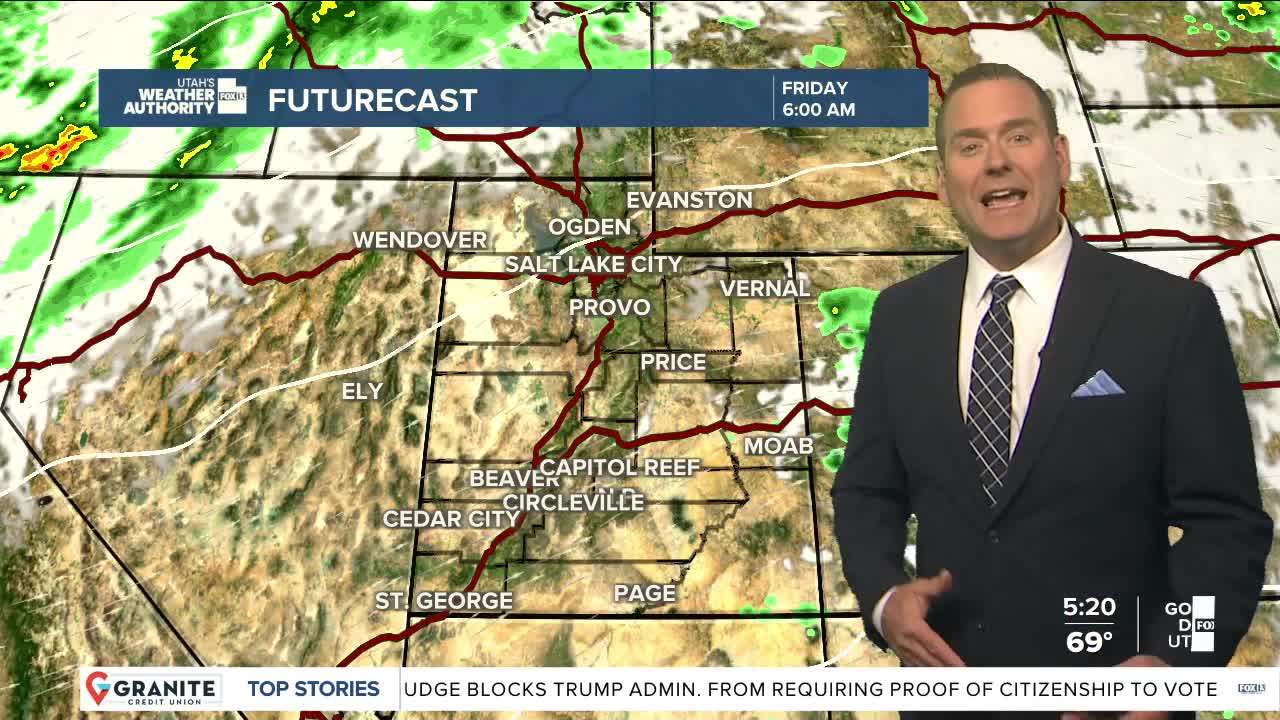


After a sunny start, it'll become partly cloudy across most of the state. Smoke will be thickest in Central Utah. Air quality along the Wasatch Front will still be unhealthy for sensitive groups, but patchy smoke will be lighter than yesterday.
Another round of showers & t-storms are possible today, but as dry air moves back into Utah, they likely won't be as widespread or as strong as yesterday. The best chance of rain out of the storms will be east of I-15.
SW winds will increase tomorrow & and possibly gust up to or even above 45 mph. The dry, windy weather will keep fire danger high across most of the area through Saturday night.
A cold front will help temps drop below average on Saturday when more showers & t-storms are possible. An even stronger cold front will bring much cooler temps by Sunday.
SALT LAKE CITY
Thursday: Patchy smoke again today! After a sunny morning, becoming partly cloudy with a 30 percent chance of showers and t-storms in the afternoon. Highs: Low 90s.
Thursday Night: Partly cloudy with patchy smoke. South winds 10-20 mph. Lows: Mid 60s.
ST. GEORGE
Thursday: Sunny, hot, & breezy with SW winds 10 to 20 mph late in the afternoon. High: Near 103.
Thursday Night: Mostly clear. Lows: Mid 70s.