

A slow-moving storm approaching Utah will keep it breezy, with gusty south winds possible across the south & east.
There's a slight chance of showers & t-storms in the north later in the afternoon & evening. Late day storms are most likely along and over the higher terrain of far Eastern Utah. Some of the storms could be strong. Heavy rain is possible, but the main impact will be gusty winds.
It's gradually going to get cooler over the next few days with temperatures dropping into the mid 70s along the Wasatch Front by Saturday. You can tell Fall is just around the corner!
SALT LAKE CITY
Thursday: Mostly sunny with slight chance of showers & t-storms in the afternoon. Highs: Low 80s.
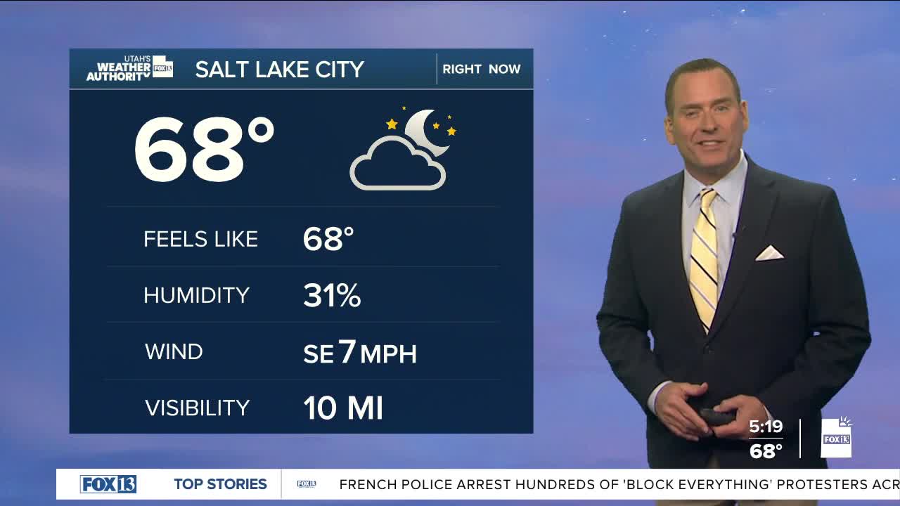
Thursday Night: Becoming mostly cloudy. Lows: Near 60.
ST. GEORGE
Thursday: Sunny. High: Near 90.
Thursday Night: Mostly clear. Lows: Mid 60s.
