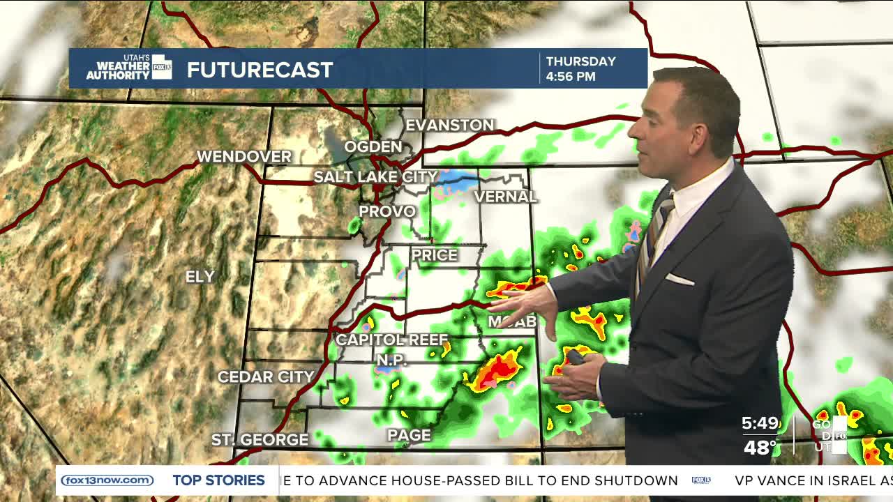


While Northern Utah will have mostly sunny and mild conditions on Thursday, wet weather continues to linger across the south.
A storm sliding across northern Arizona will bring a chance of more showers & thunderstorms across the southern and eastern portions of the state, with the strongest storms likely near Zion National Park in the morning, and then across eastern Washington and Kane counties through the afternoon.
Heavy rain is possible and could lead to isolated flash flooding before storms taper off from west to east as the storm pulls away this afternoon and evening.
High pressure building over Utah will keep it sunny and warmer on Friday and Saturday, with a cold front bringing much colder, wet weather on Sunday.
SALT LAKE CITY
Thursday: Becoming mostly sunny. Highs: Low 60s.
Thursday Night: Mostly clear. Lows: Mid 40s.
ST. GEORGE
Thursday: Slight chance of morning showers, then becoming mostly sunny in the afternoon. Highs: Mid 70s.
Thursday Night: Mostly clear. Lows: Near 50.
