

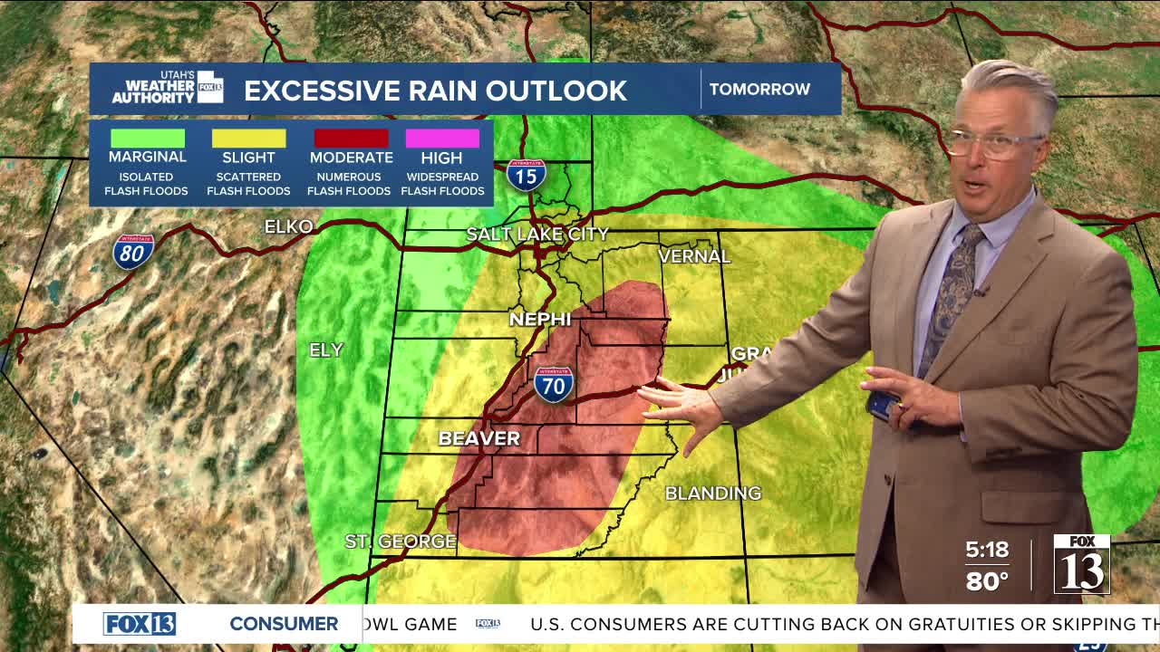


Another surge of moisture from the south will keep active weather going to start the work week. This layer of moisture will be deep and bring heavy rain across central, southern, and eastern Utah for Monday. The Flash Flood potential will be high. That moisture moves northward through Monday, giving a good chance for thunderstorms later in the day.

Forecast:
Salt Lake City
Sunday Night: Partly cloudy and cooler. Low: 59
Monday: Increasing clouds with afternoon thunderstorms. High: 85
Monday Night: Scattered thunderstorms. Low: 61
St. George
Sunday Night: Partly cloudy. Low: 71
Monday: Scattered thunderstorms and heavy rain. High: 88
Monday Night: Slight chance for an isolated t-storm. Low: 67
