

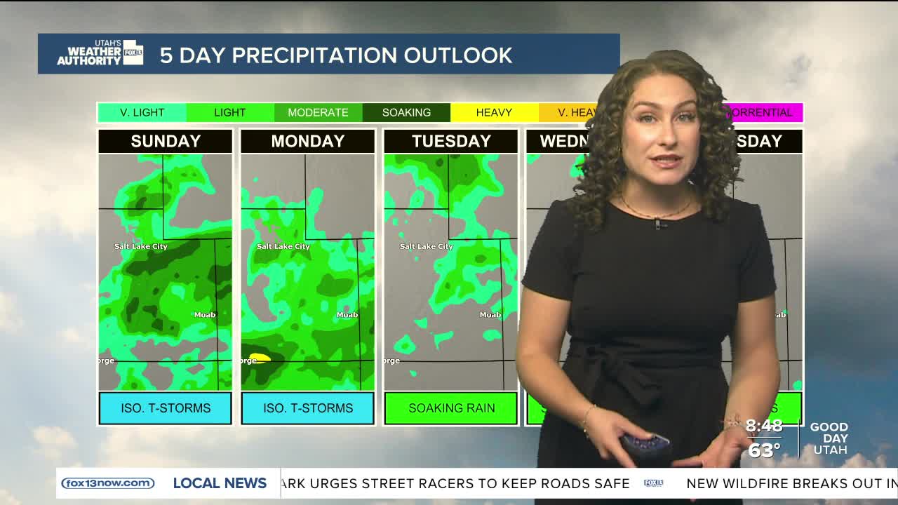


Active weather is expected throughout most of the state as an ample amount of moisture is in the atmosphere under a monsoon flow and moisture from the remnants of a Tropical Cyclone coming in from Southern California. In addition, a weak cool front is sweeping in, giving further instability to generate potential severe weather. The movement of the moisture will continue to impact northern and northeastern Utah for Sunday, with a gradual drying trend looking into the middle of next week.
Forecast:
Salt Lake City
Sunday: AM showers with isolated afternoon T-storms. High: 80
Sunday Night: Early evening isolated t-storms: Low:60
St. George
Sunday: Sunny in the morning,becoming partly cloudy by afternoon. High: 97
Sunday Night: Slight chance for an isolated t-storm. Low: 72