

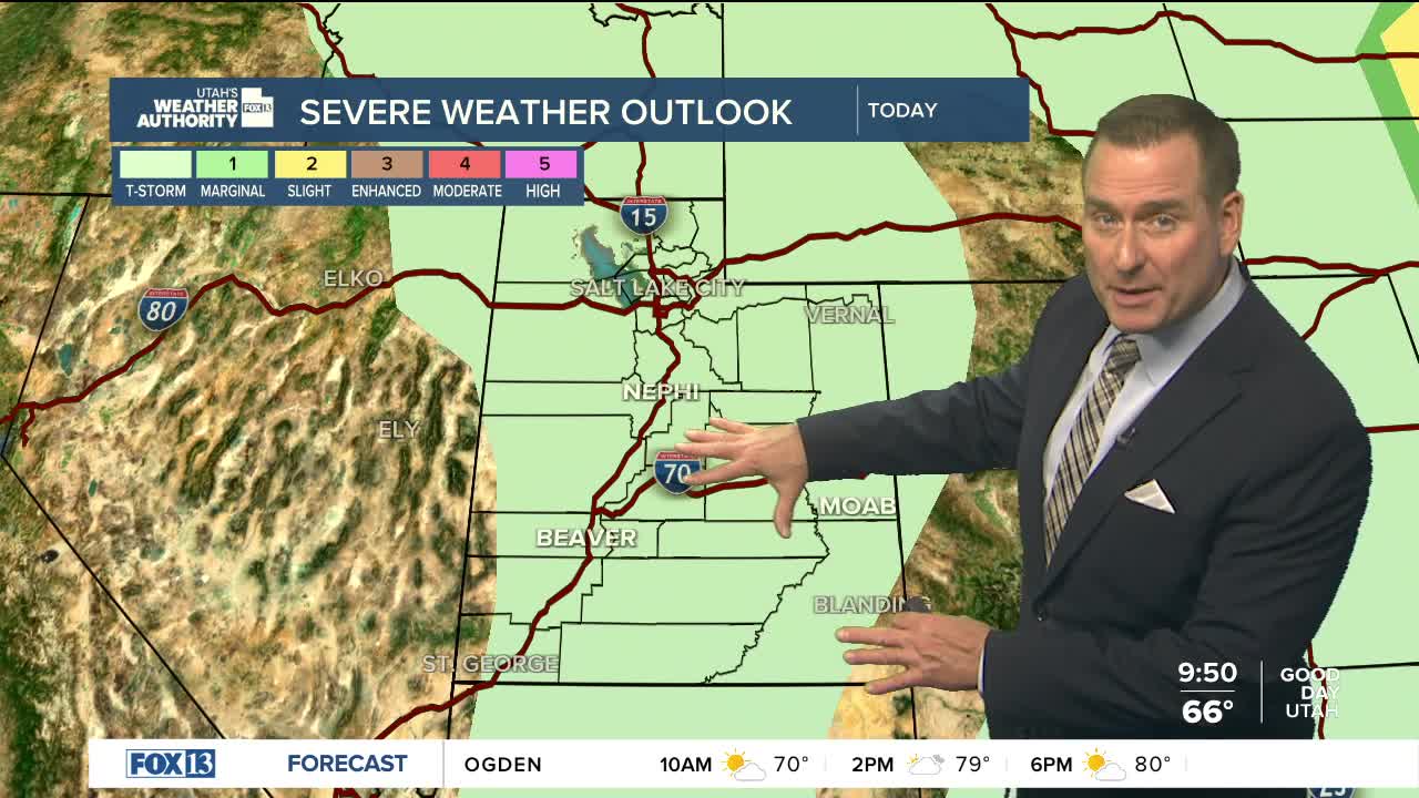


The first day of September will still be stormy across parts of Utah! But even though scattered showers & t-storms will pop up today, they're most likely along and over the mountains and won't be as widespread or strong as Monday. The best chance of stronger storms will stretch from Brian Head up through the Wasatch Plateau and into the Uintas. Areas of flash flooding will be possible, with the highest threat across Southern and Eastern Utah and near recent burn scars.
Dry air will begin to move into Western Utah today and become more widespread by tomorrow. As a result, the storm threat will diminish. The dry air combined with breezy southwest winds could lead to an increase in fire danger, especially across Western Utah.
The dry spell won't last for long. Another surge of moisture will fuel the chance of more storms over Labor Day weekend.
SALT LAKE CITY
Tuesday: Becoming partly cloudy with a 20% chance of showers & thunderstorms in the afternoon. South winds 10 to 20 mph. Highs: Mid 80s.
Tuesday Night: Mostly clear. Lows: Mid 60s.
ST. GEORGE
Tuesday: Mostly sunny with a 20 percent chance of showers & thunderstorms. Highs: Low 90s. .
Tuesday Night: Mostly clear. Lows: Upper 60s.