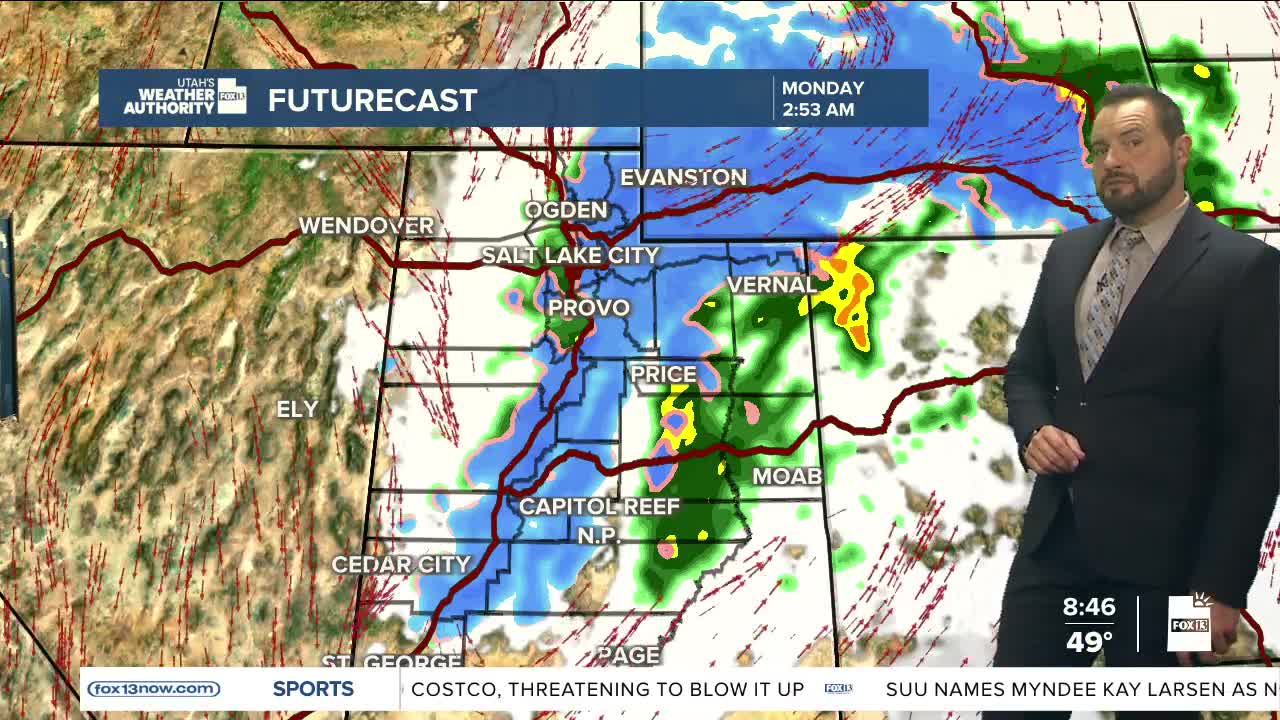

Our next storm system is bringing widespread valley rain and mountain snow showers, the latter half of Sunday into Monday. Temperatures are falling 10 to 20 degrees below normal today and Monday as a strong cold front moves through the region.

The heaviest snowfall will be focused in the Western Uintas and southwest Wyoming. Snow levels could drop to around 5,500 feet Sunday night into Monday morning, allowing accumulating snow in some mountain valleys as well.
Winter Weather Advisories remain in effect for the Western Uinta Mountains and southwest Wyoming, where the most significant impacts are expected.

At the same time, southern Utah will continue to see critical fire weather conditions through Sunday afternoon as gusty winds and very low humidity combine near the Arizona border.
Freeze conditions are also expected across many Utah valleys Monday and Tuesday mornings, especially outside of the Wasatch Front. Areas including Cache Valley, the Wasatch Back, southwest Utah, and the Sanpete Valley could see temperatures cold enough to damage sensitive plants and crops.
Conditions are expected to gradually improve by midweek, with near average high temperatures returning to the state. Heading into Memorial Day Weekend, we continue warming with mainly dry weather expected to continue statewide.
