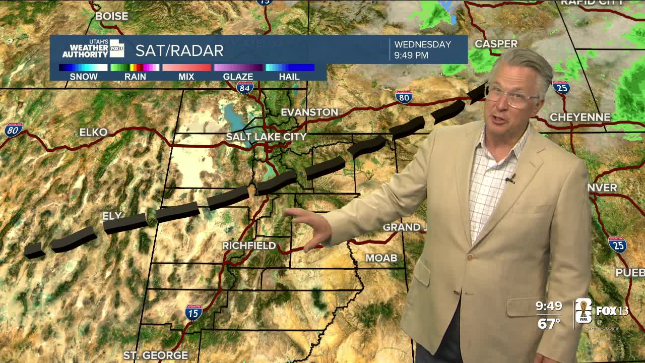


A cold front stalling out in Central Utah will be a dividing line between north & south today!
Cooler air will spill in behind the front, keeping temperatures across the north several degrees lower than yesterday. Showers & t-storms are most likely in the morning, especially close to the Idaho border, and then taper off in the afternoon. Clouds will decrease and it'll become mostly sunny in the northern valleys by late afternoon/early evening.
Gusty winds & dry conditions will keep fire danger high across much of Central, Southern, & Eastern Utah today. Another red flag warning will be in effect across Eastern Utah tomorrow.
Things quiet down by the second half of the week with sunny, hot weather expected this weekend.
SALT LAKE CITY
Tuesday: Cloudy & cooler with a slight chance of rain showers in the morning, then partly cloudy with a slight chance of showers & t-storms in the afternoon. Highs: Upper 70s.
Tuesday Night: Mostly clear & cooler. Lows: Lower 50s.
ST. GEORGE
Tuesday: Sunny & breezy. West winds 10-20 mph in the afternoon. Highs: Upper 90s.
Tuesday Night: Clear. Lows: Upper 60s.
