Weather

Actions

Stormy Sunday for Northern Utah

Sunday Morning Weather Forecast
Posted

Sunday Storm Brings Rain and Snow to Northern Utah

Graphics from the FOX 13 Weather Center showing the predicted levels of rainfall across the state. From top to bottom, left to right: Logan .64 inches, Elko .17 inches, Ogden .28 inches, Evanston .27 inches, Wendover .09 inches, Salt Lake City .04 inches, Vernal .01 inches, Provo .01 inches. The rest of the state shows 0 inches.

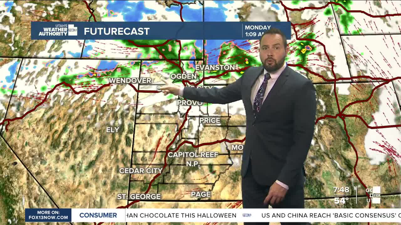
A trough of low pressure passing through the Pacific Northwest is bringing valley rain and mountain snow to northern Utah today. The wet weather will be most widespread near the Idaho border, where rainfall totals could reach a half inch or more across Cache Valley.

Graphics from the FOX 13 Weather Center showing which parts of Utah are under winter weather advisories. Most of it is localized to the northern part of the state around Logan, Ogden, and Evanston, with a section of the easter part of the state also showing advisories.

Winter Weather Advisories have been expanded to include the Western Uintas through Monday at noon, with the highest snow totals expected there and along the Bear River Range. Some peaks could pick up 10 to 12 inches of new snow. Along the Wasatch Range, lower elevations are expected to see 2 to 4 inches.

Graphics from the FOX 13 Weather Center showing the predicted snow accumulations. Northeast of Logan shows accumulations as high as 12 inches, while other pockets in the north show accumulations of up to 3 to 6 inches.

A cold front will sweep across the state early Monday, helping to clear out lingering showers and ushering in a cooler air mass. By Monday afternoon, temperatures will run about 10 degrees below seasonal averages, signaling a brisk start to the new week.

REAL-TIME WEATHER: Get the latest weather forecasts by downloading the FREE Utah Weather Authority app