
Mother Nature is bringing above normal temperatures Sunday, with most areas climbing 10-15 degrees above average this afternoon. It's going to be a gorgeous day across the state, with most areas in the low 80s up north, mid-90s down south.
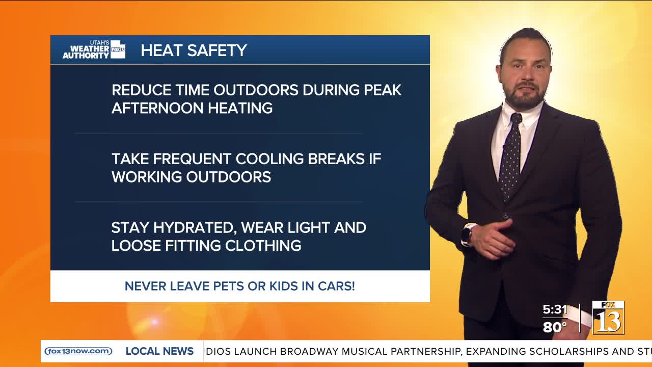
Summer-like heat is building across Utah early in the week, with near-record to record-breaking temperatures expected through Tuesday. High pressure moving overhead will send temperatures soaring 15 to 25 degrees above average, making it feel more like July than early May.

Along the Wasatch Front and in many valley locations, temperatures are forecast to climb above 90 degrees on Monday for the first time this year. In southern Utah, lower Washington County could also see its first 100-degree day of the season, with the best chance of exceeding 100 degrees on Tuesday.
The heat will also bring elevated fire danger concerns across southern Utah through midweek. The reasons are our very dry air, poor overnight humidity recovery, and occasional gusty winds, which could create periods of critical fire weather conditions.
By the middle to latter half of the week, the weather pattern begins to shift slightly. An approaching storm should knock down the ridge and increase moisture chances slightly into Thursday. The biggest change will be that temperatures are expected to cool through the end of the week with little chance of storms. Daytime highs should remain roughly 10 degrees above seasonal averages into the weekend.

