

We're gradually warming up, but some of you will get some wet & windy weather along the way!
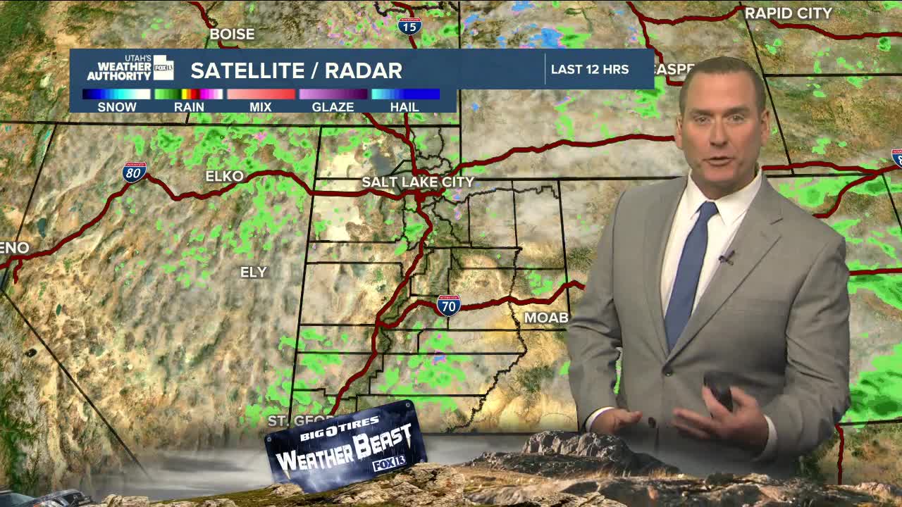
A weak system crossing Utah will bring a chance of high-based showers & t- storms this afternoon & evening, mainly across Northern Utah. If showers do pop up, brief gusty winds are more likely than rain. The best chance of precipitation reaching the ground would be over the mountains and across Eastern Utah.
With an easterly flow developing tonight, winds will increase in the canyons along the Northern Wasatch Front and could gust near 40 mph overnight & tomorrow morning.
Luckily, high pressure building this weekend will bring sunny & much warmer weather! Hold off on turning on the sprinklers, showery & cool weather is expected again early next week.
SALT LAKE CITY
Thursday: Becoming partly cloudy with a 20 percent chance of showers and thunderstorms in the afternoon. Highs in the mid 60s.
Thursday Night: Mostly clear. Lows: Near 40.
ST. GEORGE
Thursday: Sunny. Highs around 80.
Thursday Night: Mostly clear. Lows: Lower 50s.
