
It's a gorgeous start to the weekend with mostly sunny skies and warming temperatures statewide. Highs will climb 5 to 10 degrees above normal, giving us a brief taste of early June 'feels'. However, our weather is about to flip the switch again—this time trading quiet skies for gusty, hit-or-miss storms.
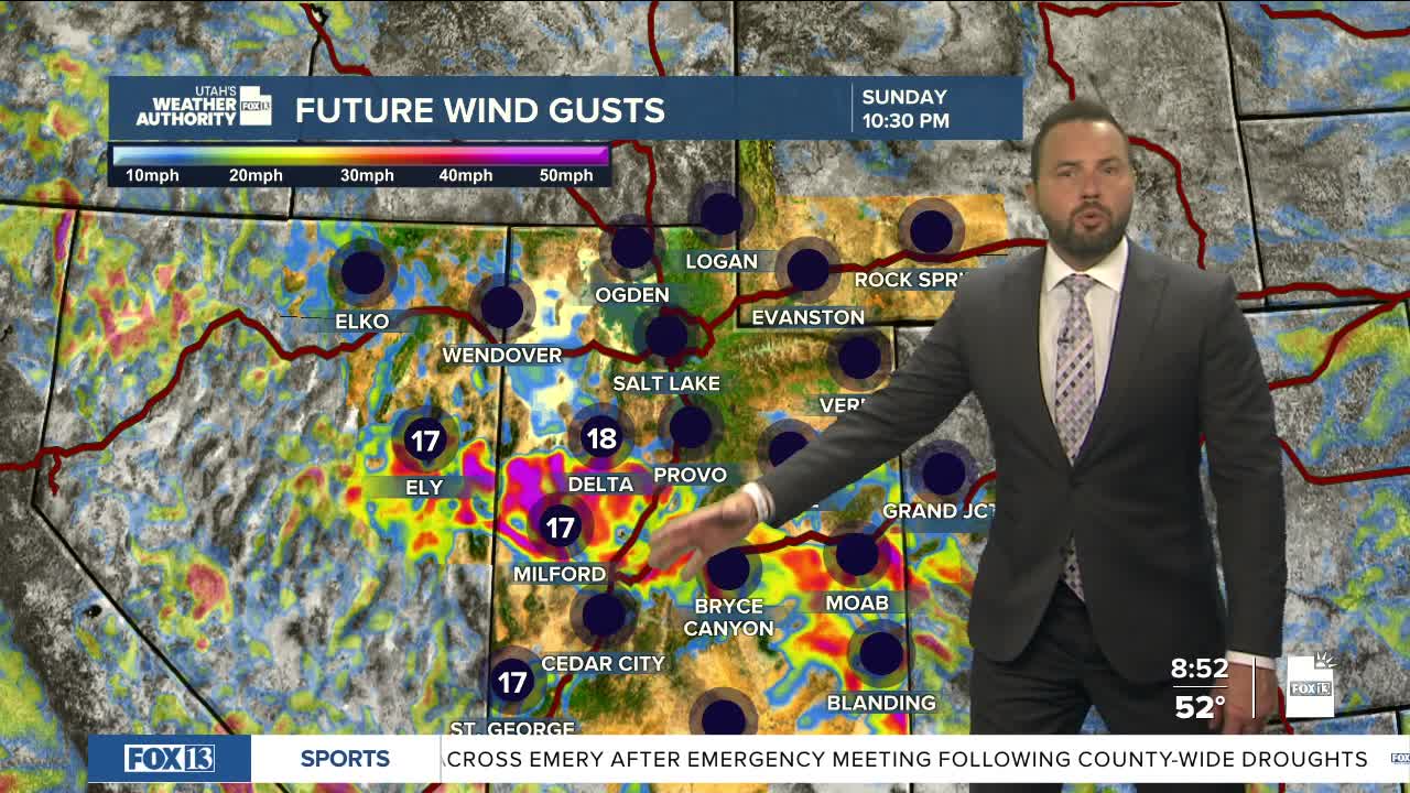
High-based showers and thunderstorms are expected to fire up across southern Utah late Sunday afternoon and evening as moisture moves in from the southwest. Rain will be limited, but these storms can kick out strong wind gusts up to 50 mph, especially as they collapse and push air toward the ground.

By Monday, that same setup shifts north into northern Utah, bringing another round of afternoon and evening storms. The biggest concern? Sudden bursts of wind that can catch you off guard, even if the skies don’t look all that threatening at first glance.
Storms become a bit more widespread Monday into Tuesday. The additional moisture may make outflow winds less of a concern, but moisture content will still be fairly limited. A few showers could linger into early Wednesday. After that, Utah trends warmer and drier again, with temperatures climbing back toward summer-like levels by late week into next weekend.
