

It's going to be a picture perfect spring day! Sunny & warmer than the the last few days, even though temps will still be a little below average.
It's going to gradually warm up through the weekend, but that will hit a snag tomorrow as a storm brushes by Northern Utah & SW Wyoming. Showers & isolated t-storms will be possible in the north, mainly along and east of I-15. Temps will drop slightly & winds will increase as a cold front quickly moves through tomorrow morning & afternoon.
This storm won't be as strong or as cold as the one earlier in the week. Mountain snow is possible, but with most accumulation above 8,000 ft.
It's going to dry out Friday and with high pressure building, that will set the stage for a sunny & much warmer holiday weekend!
SALT LAKE CITY
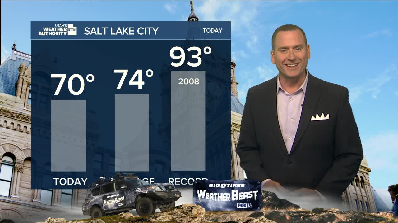
Wednesday: Sunny & slightly warmer. Highs: Near 70.
Wednesday Night: Becoming mostly cloudy. Lows: Near 50.
ST. GEORGE
Wednesday: Sunny. Highs: Mid 80s.
Wednesday Night: Mostly clear. Lows: Mid 50s.
