

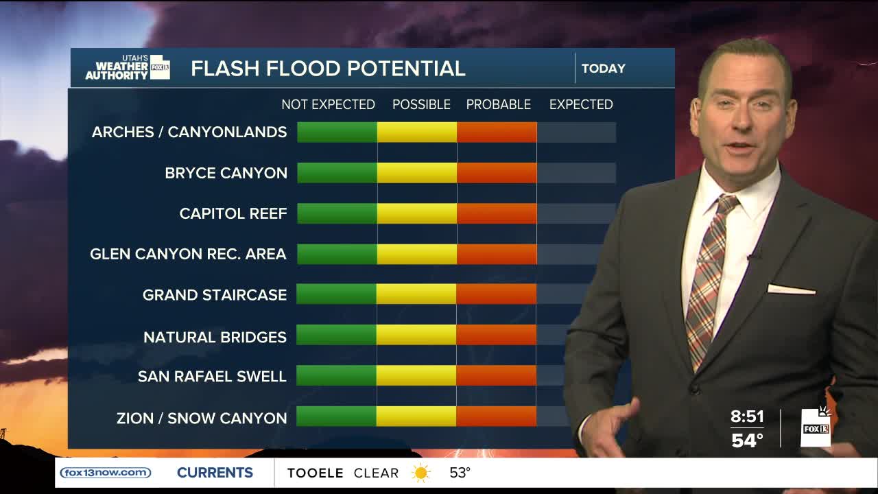


It's drying out across northern Utah, but we're not done with the stormy weather yet!
Monsoonal moisture will bring a chance good chance of more showers & thunderstorms to the southern third of Utah. Storms are most likely along and over the higher terrain as well as near the Arizona border. Heavy rain is likely, and with the ground already saturated, the threat of flash flooding will be high. By tomorrow, most showers & thunderstorms will be confined to the SE corner of Utah.
High pressure is expected to build back over the area by midweek, bringing warmer, dry weather. Temperatures will climb back in the low 80s along the Wasatch Front by the end of the week and near 90 in Lower Washington County.
SALT LAKE CITY
Tuesday: Becoming mostly sunny. Highs: Mid 70s.
Tuesday Night: Clear & Cool. Lows: Near 50.
ST. GEORGE
Tuesday: Mostly cloudy with rain showers likely & a chance of thunderstorms in the afternoon & evening. Some thunderstorms may produce heavy rain. Highs: Mid to upper 70s.
Tuesday Night: Becoming partly cloudy after midnight. Lows: Near 60.