
A picture-perfect start to the weekend! Most of Utah is soaking up sunshine today as temperatures warm ahead of a Sunday cold front. Southwest winds are kicking up, signaling the next change on the way.

Northern Utah will top out in the upper 60s today with clouds filling in and breezy conditions developing. Down south, it’s a beauty — highs in the low to mid-70s and plenty of sunshine to go around.

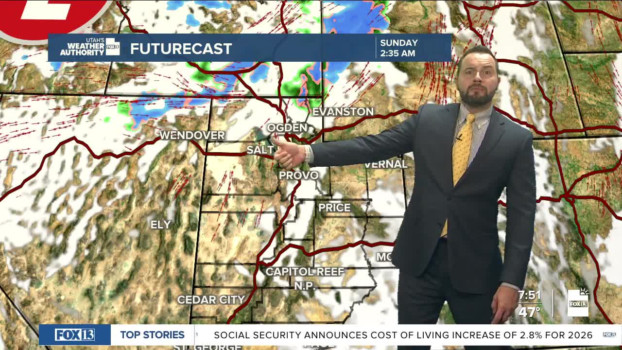
That cold front rolls in Sunday, mainly targeting northern Utah through early Monday. Expect valley rain and mountain snow, with totals increasing the farther north you go. Most valleys pick up around 0.10–0.20" of rain, while mountain spots see 2–6" of snow — and up to 10" possible across the Bear River Range.

Temperatures take a tumble, dropping about ten degrees Sunday and another ten by Monday as the storm moves out. A few leftover showers could linger early Monday before skies start to clear.
From there, it’s smooth sailing to wrap up October — sunshine, warming temps, and calm weather back in charge. Early Halloween outlook? Mild and partly cloudy with just the right chill for trick-or-treating. Stay tuned!
