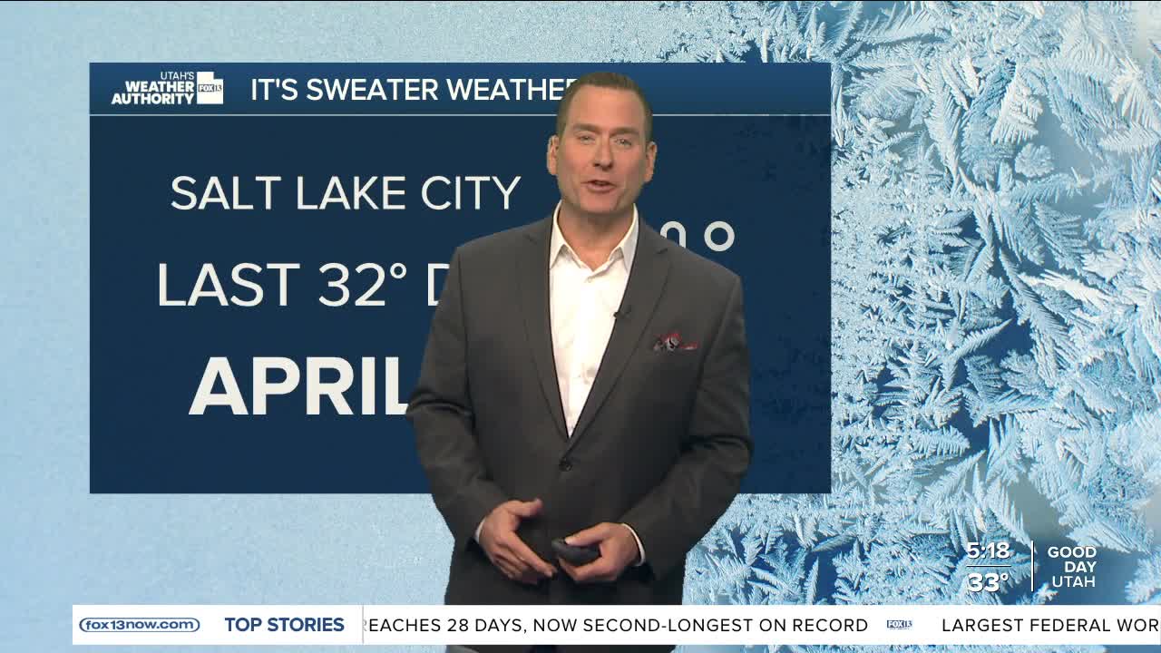


Bundle up! Cold air in place behind the last storm brought the coldest temps of the season this morning. Temps will likely be near or below freezing across most of Utah with the exception of lower Washington County.
With cold air becoming trapped in some of the northern valleys, a weak inversion will develop with increasing valley haze in the afternoon. Most notably in Davis, Salt Lake, & Utah counties. Air quality is forecast to be moderate today and tomorrow, but then improve as a dry cold front brushes by on Thursday.
High pressure building over the western U.S. will keep it dry with temps gradually climbing back above average by the weekend.
SALT LAKE CITY
Tuesday: Sunny with valley haze in the afternoon. Highs: Low 50s.
Tuesday Night: Mostly clear. Lows: Upper 30s.
ST. GEORGE
Tuesday: Sunny. Highs: Mid 70s.
Tuesday Night: Mostly clear. Lows: Upper 40s.
