

Ready for a warm-up? After a chilly start across much of Utah, temps will bounce back today and climb well above average.
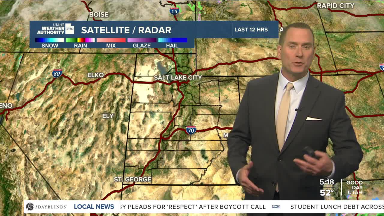
A weak weather system brushing by to our north will bring a chance of spotty rain & snow showers, mainly over the higher terrain of far northern Utah, SW Wyoming, and NE Utah. Most of these will taper off by midday.
High pressure will bring increasingly hot & dry conditions this weekend. By Sunday, most valleys will warm up into the low to mid 80s and in the upper 90s in Lower Washington County. Near record heat is possible by early next week.
Fire danger will increase across SW & South Central Utah this weekend. Be careful!
SALT LAKE CITY
Thursday: Partly cloudy & warmer. Highs: Upper 70s.
Thursday Night: Mostly clear. Lows: Near 50.
ST. GEORGE
Thursday: Sunny & warmer. Highs: Near 90.
Thursday Night: Mostly clear. Lows: Upper 50s.
