

It's going to be a sunny & warm start to the weekend! Temps will climb into the upper 70s along the Wasatch Front and into the mid 90s in Lower Washington County.
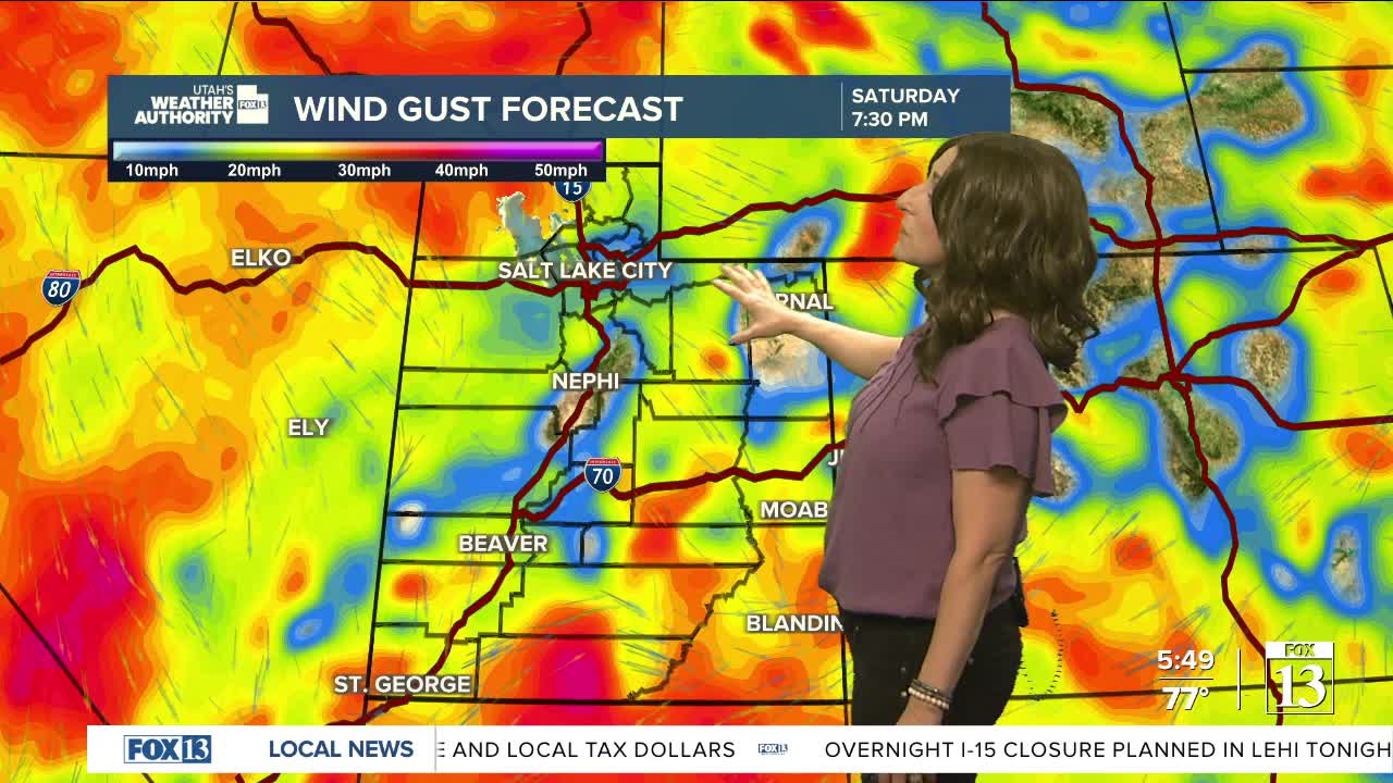
Clouds & winds increase tomorrow ahead of a cold storm moving in Sunday. Widespread valley rain & mountain snow expected along with a BIG drop in temps!
SALT LAKE CITY
Friday: Sunny. Highs: Upper 70s.
Friday Night: Clear & coo. Lows: Near 50.
Saturday: Partly cloudy in the morning, then increasing clouds in the afternoon. Highs: Low 70s.
Sunday: Partly cloudy & much cooler with a chance of showers & isolated t-storms in the afternoon. NW winds 10-20 mph. Highs: Mid 50s.
ST. GEORGE
Friday: Sunny. West winds 10 to 20 mph in the afternoon. Highs: Mid 90s.
Friday Night: Mostly clear. Lows: Lower 60s.
Saturday: Sunny & breezy. SW winds 15-25 mph. Highs: Near 90.
Sunday: Becoming partly cloudy with a chance of showers in the evening. Highs: Mid 80s.
