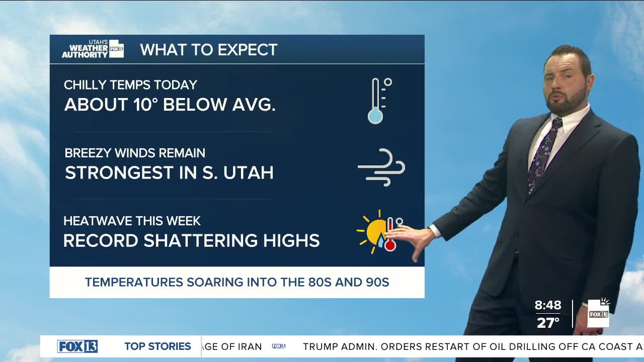

Sunday is going to feel more like late February than mid-March across northern Utah as temperatures are now running about 10 degrees below normal.
Areas further south won't feel it quite as much, the frigid air not making it as far south. Either way, enjoy the cool-down while it lasts, because things are about to get record warm!
A strong ridge of high pressure starts building across the West early in the week, and by Wednesday and Thursday, it will peak over the Desert Southwest. The intensity of the high pressure is something more summer-like and not what we see in March.
Here's where it gets really fun. Thursday looks like a legitimate shot at hitting 80° for the first time this year — which would break the record for the earliest 80-degree day in SLC history, and not by a hair. The old record is March 31st. We'd be beating it by 12 days.
Friday and Saturday look just as warm, and if we push into the mid-80s, we're talking about taking down the all-time March record high, full stop. In St. George, we're looking at heat building into the mid-90s through the end of the week, with new daily records falling into the weekend. The hottest temperature ever recorded in March is 91-degrees in St. George, reported back in 2004... on Friday, we're forecasting 97°!
The heat looks to hold through most of the weekend before a trough digging into the Pacific Northwest finally starts to knock the ridge down and bring some relief.
