

After a slow start, the storm is moving in!
An atmospheric river will pump a lot of moisture into Northern & Central Utah through Saturday night & Sunday morning. Heavy snow is expected in the mountains where 1 to 3 feet could pile up. The heaviest snow will be Friday night & early Saturday. It's going to be heavy, dense snow which is perfect for building the base at the ski resorts. The problem is, it's going to make travel tricky over the higher passes and up the canyons, so be prepared for winter driving conditions in those areas.
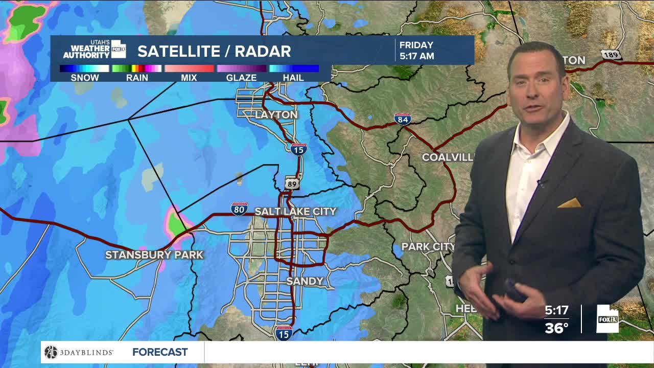
Snow will fall in the valleys on Friday morning with minor accumulations possible. But this is going to be a relatively warm storm, so snow will change over to rain in valleys by Friday afternoon. Keep in mind, roads will still be wet through Saturday evening, so that could slow down travel as well.
Luckily, we'll salvage the end of the weekend! It'll be partly cloudy and in the mid 40s along the Wasatch Front by Sunday.
SALT LAKE CITY
Friday: Snow in the morning, then rain and snow likely in the afternoon. Highs: Near 40.
Friday Night: Rain. Lows: Mid 30s.
Saturday: Cloudy with rain most likely in the morning, then showery in the afternoon. Highs: Mid 40s.
Sunday: Partly cloudy. Highs: Mid 40s.
ST. GEORGE
Friday: Sunny. Highs: Mid 50s.
Friday Night: Mostly clear. Lows: Mid 30s.
Saturday: Sunny. Highs: Near 60.
Sunday: Sunny. Highs: Near 60.
