

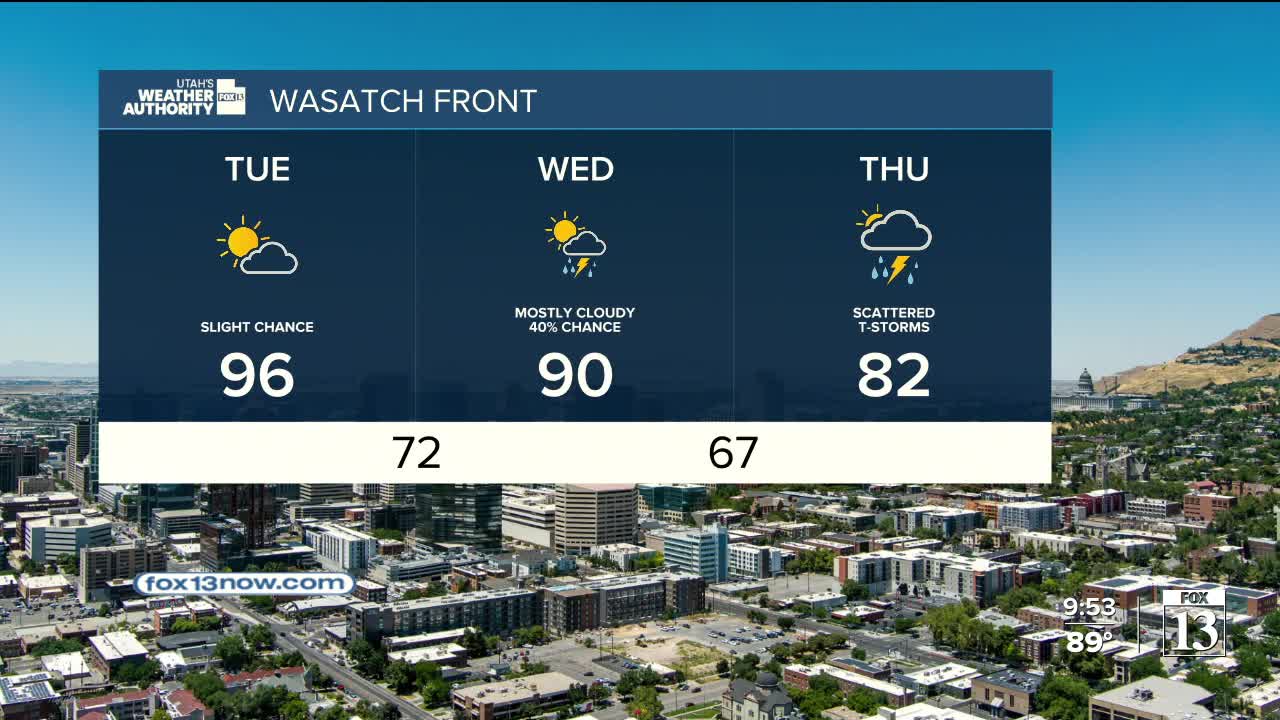


If you're ready for a break from the heat, you're in luck!
Monsoonal moisture will increase over the next few days, bringing a chance of showers & t-storms in the afternoons & evenings. They're most likely over the mountains of Central & Southern Utah, but are possible all across the area and could drift out over the valleys. The main impact of the storms today will be gusty winds, but heavy rain is possible and will become more likely by the middle of the week. As a result, flash flooding will increasingly become a concern over the next few days. Be weather aware if you have outdoor plans!
We'll finally get a break from the late summer heat! Temps could drop as much as 10-15 degrees below average by the end of the week.
SALT LAKE CITY
Monday: Partly cloudy with a 30% chance of showers & t-storms in the afternoon & evening. Highs: Upper 90s.
Monday Night: Mostly cloudy. Lows: Lower 70s.
ST. GEORGE
Monday: Partly cloudy & very hot. Highs: Near 106.
Monday Night: Mostly cloudy with a slight chance of t-storms in the evening. Lows: Near 80.