



Another hot day before it cools off this weekend!
Near record heat will linger across Northern Utah again today with heat alerts in effect through Saturday morning. It will still be hot across the rest of Utah, but as monsoonal moisture increases, temps will be begin to drop.
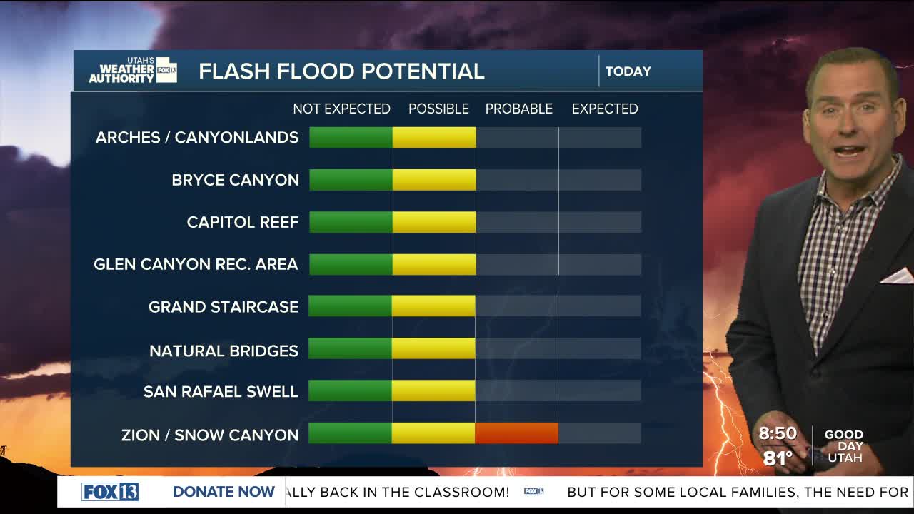
The best chance of showers & t-storms today will be over the Central & Southern Mountains, but could drift out over the valleys. Rain is possible, but gusty winds will likely still be the main impact.
As moisture increases, heavier ran that could lead to flash flooding will become more likely on Saturday. At the same time, temperatures will drop several degrees. So, we'll get a little relief from some of the scorching late summer heat.
SALT LAKE CITY
Friday: Partly cloudy & still hot with a 20% chance of showers & t-storms in the afternoon. Highs: Near 100.
Friday Night: Mostly cloudy with a 30% chance of scattered showers & t-storms. Decreasing overnight. Lows: Lower 70s.
ST. GEORGE
Friday: Partly cloudy with a 20% chance of isolated showers & t-storms in the afternoon. Highs: Near 103.
Friday Night: Mostly clear. Lows: Upper 70s.