

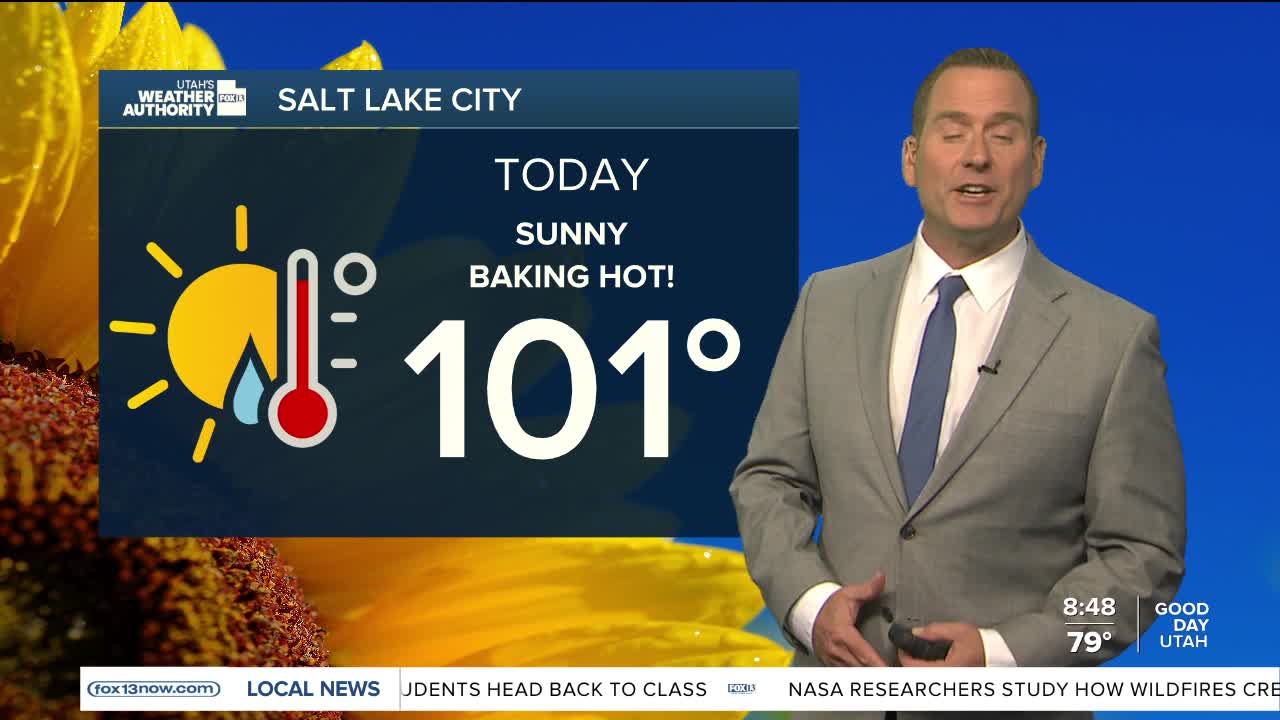


The heat is on...again!
Very hot temperatures will blanket UT today & tomorrow! Unfortunately, the heat risk will be major with heat related illness possible. Avoid being outside during the hottest part of the day if you can and drink plenty of water! Temps will drop a little in the south tomorrow, but extreme heat will linger across the north through Friday.
Monsoonal moisture moving in will bring an increasing chance of showers & t-storms heading into the weekend. The best chance of storms today will be over the higher terrain of Eastern Utah and will mainly be dry. Wetter storms will become more likely across Central & Southern Utah tomorrow and become more widespread by Saturday. As a result, it won't be as hot this weekend.
Since storms could bring heavy rain, flash flood potential will increase over the next few days.
SALT LAKE CITY
Thursday: Sunny & hot. Highs: Near 101.
Thursday Night: Partly cloudy. Lows: Mid 70s.
ST. GEORGE
Thursday: Sunny & very hot. Highs: Near 105.
Thursday Night: Partly cloudy. Lows: Near 80.