

Strong winds and heavy mountain snow are expected to impact much of Utah through the weekend, with some valleys along the Wasatch Front likely to see their first measurable snow of the season.
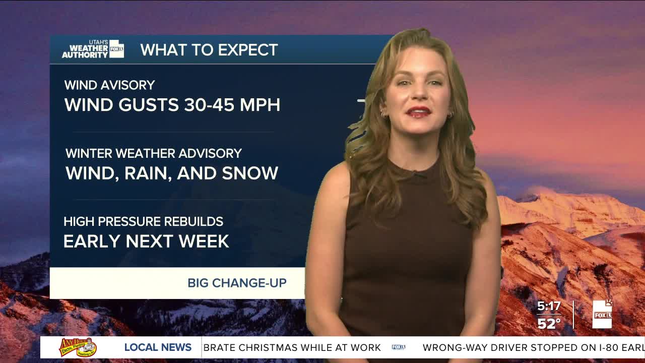
Wind gusts topping 45 mph will continue in parts of western Utah through Friday afternoon.. Mountain areas across the state could see 6 to 12 inches of snow by late Saturday, with totals reaching up to 20 inches locally.
Two storm systems will bring wind, rain, and snow to the region through the holiday weekend. The first system will arrive Friday night into Saturday, lowering snow levels to between 5,000 and 6,000 feet. A second, colder system will move in Saturday night into Sunday morning, dropping snow levels to the valley floors in northern Utah. There is a chance of measurable snow along most of the Wasatch Front Saturday night into early Sunday
Temperatures will dip to or below seasonal averages over the weekend before rebounding to near average early next week. High pressure is expected to return by midweek, although inversions could slow warming in some northern valleys and potentially impact air quality.
